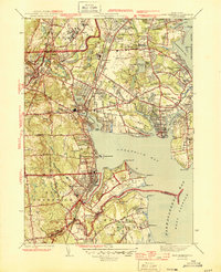
1944 Map of East Greenwich
USGS Topo · Published 1944About this map
The State Farm complex and the adjacent State Prison anchor the northern landscape of this wartime survey, showing the intensive institutional land use in the Howard area. Along the coastline, the expansion of the State Airport at Hillsgrove contrasts with the established residential patterns of Apponaug and the waterfront character of Oakland Beach. The map details a transition from the industrial and correctional facilities near the Pawtuxet River to the open recreational space of Goddard State Park and the specialized medical grounds of the Crawford Allen Hospital on the Potowomut peninsula.
Find a feature on this map
117 named features on this map. Tap any name to fly to it.
Don’t see what you’re looking for? This feature index may not catch every label — zoom into the map to look around manually.
Map Details
Editions of this 1944 East Greenwich Map
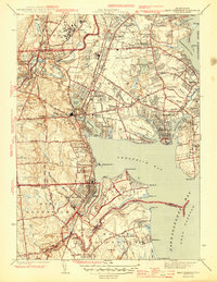
2 editions found
Other maps of this area

1887 · Providence
USGS Topo · 1:62,500

1889 · Providence
USGS Topo · 1:62,500

1889 · Burrillville
USGS Topo · 1:62,500

1890 · Narragansett Bay
USGS Topo · 1:62,500

1890 · Kent
USGS Topo · 1:62,500

1892 · Narragansett Bay
USGS Topo · 1:62,500

1894 · Burrillville
USGS Topo · 1:62,500

1894 · Kent
USGS Topo · 1:62,500

1894 · Providence
USGS Topo · 1:62,500

1915 · Burrillville
USGS Topo · 1:62,500