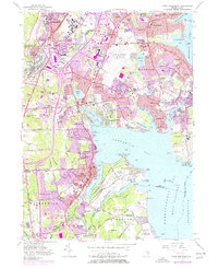
1957 Map of East Greenwich
USGS Topo · Published 1977About this map
Greenwich Bay and the northern reaches of Narragansett Bay dominate this coastal survey, detailing the suburban and industrial expansion of central Rhode Island. The landscape transitions from the dense settlements of Warwick and East Greenwich to the sprawling grounds of the Theodore Francis Green State Airport and the massive complex of State Institutions near Howard. The shoreline is a study in varying uses, from the recreation at Goddard Memorial State Park on Potowomut Neck to the industrial character of Hillsgrove and the naval activity at the U S Naval Reservation Construction Battalion Center. Inland, the network of the Pawtuxet River and its tributaries like Meshanticut Brook shaped the early development of communities such as Pontiac and Natick, where early industry once flourished along the river banks.
Find a feature on this map
188 named features on this map. Tap any name to fly to it.
Don’t see what you’re looking for? This feature index may not catch every label — zoom into the map to look around manually.
Map Details
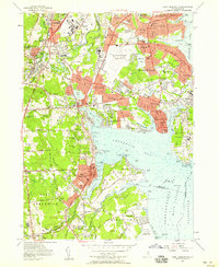
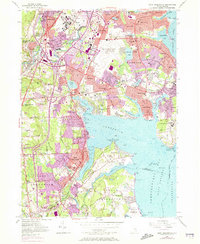
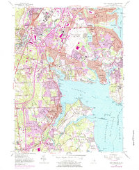
Editions of this 1957 East Greenwich Map
4 editions found
Other maps of this area

1887 · Providence
USGS Topo · 1:62,500

1889 · Providence
USGS Topo · 1:62,500

1889 · Burrillville
USGS Topo · 1:62,500

1890 · Narragansett Bay
USGS Topo · 1:62,500

1890 · Kent
USGS Topo · 1:62,500

1892 · Narragansett Bay
USGS Topo · 1:62,500

1894 · Burrillville
USGS Topo · 1:62,500

1894 · Kent
USGS Topo · 1:62,500

1894 · Providence
USGS Topo · 1:62,500

1915 · Burrillville
USGS Topo · 1:62,500