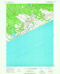
1956 Map of East Hampton
USGS Topo · Published 1967About this map
East Hampton and the nearby hamlet of Amagansett are shown during a period of steady mid-century growth, still defined by the historic corridor of the Long Island Railroad. The landscape transitions from the concentrated village centers to outlying coastal settlements like Wainscott and Georgica. Along the shoreline, prominent water bodies such as Georgica Pond, Hook Pond, and Wainscott Pond separate the residential clusters from the Atlantic Ocean beaches. Local genealogy is well-documented through numerous burial grounds, including St Philomena's Cem, Oak Grove Cem, and Cedar Lawn Cem. Further inland, the map reveals industrial and infrastructure sites like the East Hampton Airport and several Gravel Pits, while the Stoney Lookout Tower stands as a landmark on Stoney Hill. This survey captures the East End before the extensive modern development of the late 20th century.
Find a feature on this map
45 named features on this map. Tap any name to fly to it.
Don’t see what you’re looking for? This feature index may not catch every label — zoom into the map to look around manually.
Map Details
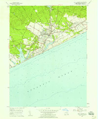
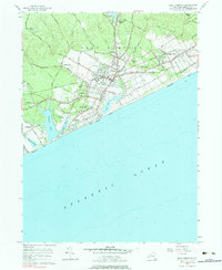
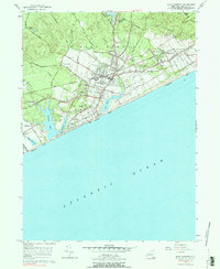
Editions of this 1956 East Hampton Map
4 editions found
Other maps of this area

1903 · Sag Harbor
USGS Topo · 1:62,500

1903 · Gardiners Island
USGS Topo · 1:62,500

1904 · Sag Harbor
USGS Topo · 1:62,500

1904 · Shelter Island
USGS Topo · 1:62,500

1904 · Easthampton
USGS Topo · 1:62,500

1904 · Gardiners Island
USGS Topo · 1:62,500

1921 · Gardiners Island
USGS Topo · 1:62,500

1921 · Easthampton
USGS Topo · 1:62,500

1943 · Gardiners Island East
USGS Topo · 1:24,000

1944 · Gardiners Island West
USGS Topo · 1:24,000
Featured Places
- Southampton, NY
- East Hampton, NY
- Springs, East Hampton
- East Hampton North, East Hampton
- Northwest Harbor, East Hampton