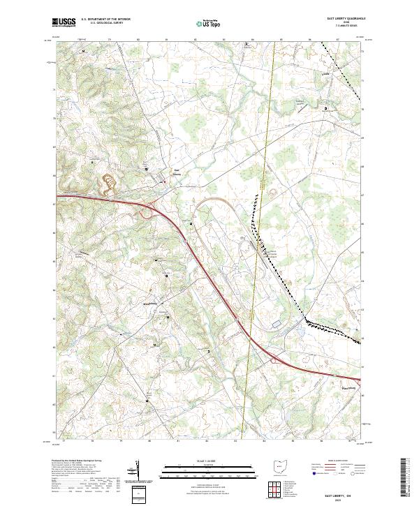
2023 Map of East Liberty
USGS Topo · Published 2023About this map
East Liberty and the surrounding agricultural landscape of Logan and Union Counties are defined by the headwaters of the Darby Creek system. This modern survey shows a region where traditional rural settlements like Middleburg and Pottersburg coexist with large-scale technical infrastructure, most notably the expansive Transportation Research Center of Ohio Airport. The terrain transitions from the localized relief of Marmon Valley to the flatter drainage basins of Big Darby Creek and Flat Branch.
Find a feature on this map
72 named features on this map. Tap any name to fly to it.
Don’t see what you’re looking for? This feature index may not catch every label — zoom into the map to look around manually.
Map Details
Editions of this 2023 East Liberty Map
This is the sole edition of this map. No revisions or reprints were ever made.
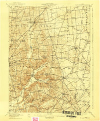
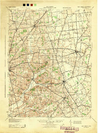
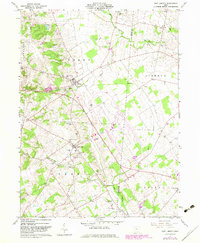
Historical Maps of Allen Township Through Time
5 maps found