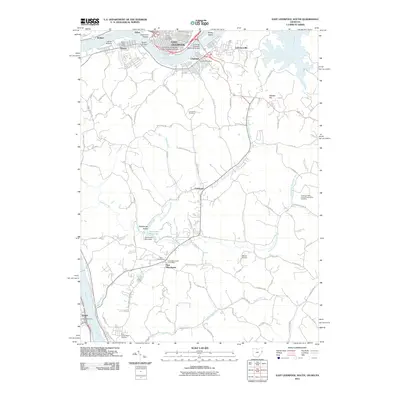
2011 Map of East Liverpool South
USGS Topo · Published 2011About this map
The Ohio River carves a deep valley through this tri-state border region, connecting the industrial hubs of East Liverpool, Ohio, and Chester, West Virginia. The river's influence is central to the landscape, from Babbs Island near the Jennings Randolph Memorial Bridge to the small settlements of Walkers and Newell further downstream. Higher ground is defined by family-named landmarks like Stewart Hill and Locust Hill, while the Kent State University East Liverpool Campus sits at the heart of the urban cluster.
Find a feature on this map
83 named features on this map. Tap any name to fly to it.
Don’t see what you’re looking for? This feature index may not catch every label — zoom into the map to look around manually.
Map Details
Editions of this 2011 East Liverpool South Map
This is the sole edition of this map. No revisions or reprints were ever made.
Other maps of this area

1901 · Beaver
USGS Topo · 1:62,500

1904 · Wellsville
USGS Topo · 1:62,500

1904 · Steubenville
USGS Topo · 1:62,500

1904 · Beaver
USGS Topo · 1:62,500

1904 · Burgettstown
USGS Topo · 1:62,500

1906 · Burgettstown
USGS Topo · 1:62,500

1935 · Steubenville
USGS Topo · 1:62,500

1937 · Wellsville
USGS Topo · 1:62,500

1942 · Steubenville
USGS Topo · 1:62,500

1944 · Wellsville
USGS Topo · 1:62,500