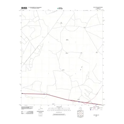
2010 Map of East Mesa
USGS Topo · Published 2010About this map
Guayule Mountain and Round Mountain rise above the high plains of Pecos County, defining the arid landscape of the East Mesa. This 2010 survey reflects a region where water management is the primary driver of infrastructure, evidenced by the distribution of isolated water sources like the West Pasture Windmill, Canyon Windmill, and Five Section Windmill. These points represent critical nodes for ranching operations in a terrain otherwise marked by significant elevation changes and limited settlement.
Find a feature on this map
13 named features on this map. Tap any name to fly to it.
Don’t see what you’re looking for? This feature index may not catch every label — zoom into the map to look around manually.
Map Details
Editions of this 2010 East Mesa Map
This is the sole edition of this map. No revisions or reprints were ever made.
Other maps of this area
1921 · Fort Stockton
USGS Topo · 1:62,500
1923 · Fort Stockton
USGS Topo · 1:62,500
1928 · Comanche Spring
USGS Topo · 1:125,000

1954 · Pecos
USGS Topo · 1:250,000

1954 · Fort Stockton
USGS Topo · 1:250,000

1957 · Pecos
USGS Topo · 1:250,000

1958 · Fort Stockton
USGS Topo · 1:250,000
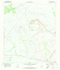
1970 · East Mesa
USGS Topo · 1:24,000
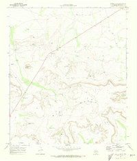
1970 · Saddle Butte
USGS Topo · 1:24,000
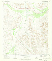
1970 · Panther Bluff
USGS Topo · 1:24,000