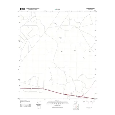
2012 Map of East Mesa
USGS Topo · Published 2012About this map
The vast Pecos County high desert is defined by the wide expanse of the East Mesa, where isolated landmarks and water infrastructure tell the story of modern Texas ranching. This 2012 survey illustrates a landscape of high-elevation peaks, including Guayule Mtn and Round Mtn, rising above the scrub. Human presence is largely marked by the critical network of ranch infrastructure, specifically named windmills and tanks essential for livestock in this arid environment. Key sites such as the McKenzie Ranch and numerous named water points like North High Windmill, Partnership Windmill, and West Pasture Windmill provide a clear view of how land is managed and divided. The map also traces the modern transport corridor along the southern edge, where an interstate and Frontage Rd cut through the foothills, contrasting with the more primitive tracks like Gulf Rd that penetrate the mesa's interior.
Find a feature on this map
11 named features on this map. Tap any name to fly to it.
Don’t see what you’re looking for? This feature index may not catch every label — zoom into the map to look around manually.
Map Details
Editions of this 2012 East Mesa Map
This is the sole edition of this map. No revisions or reprints were ever made.
Other maps of this area
1921 · Fort Stockton
USGS Topo · 1:62,500
1923 · Fort Stockton
USGS Topo · 1:62,500
1928 · Comanche Spring
USGS Topo · 1:125,000

1954 · Pecos
USGS Topo · 1:250,000

1954 · Fort Stockton
USGS Topo · 1:250,000

1957 · Pecos
USGS Topo · 1:250,000

1958 · Fort Stockton
USGS Topo · 1:250,000
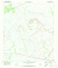
1970 · East Mesa
USGS Topo · 1:24,000
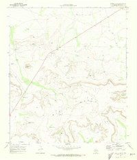
1970 · Saddle Butte
USGS Topo · 1:24,000
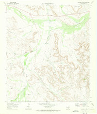
1970 · Panther Bluff
USGS Topo · 1:24,000