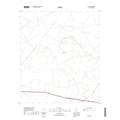
2019 Map of East Mesa
USGS Topo · Published 2019About this map
East Mesa and the prominent elevations of Guayule Mtn and Round Mtn define this Pecos County landscape. The mapping shows a transition from the elevated plateaus and mesa breaks into the lower desert plains, where a sparse network of ranch roads and thoroughfares like Gulf Rd and Fm 2037 connect the remote terrain. In the southern portion of the sheet, the modern infrastructure of Interstate 10 and its frontage road, I 10 SVC RD, cuts across the dry landscape, meeting University Rd. This 2019 survey documents the intersection of high-speed transit corridors with the traditional cattle-country access roads such as Streul Rd, illustrating how geographic barriers like the mesas continue to dictate the placement of transportation routes in West Texas.
Find a feature on this map
8 named features on this map. Tap any name to fly to it.
Don’t see what you’re looking for? This feature index may not catch every label — zoom into the map to look around manually.
Map Details
Editions of this 2019 East Mesa Map
This is the sole edition of this map. No revisions or reprints were ever made.
Other maps of this area
1921 · Fort Stockton
USGS Topo · 1:62,500
1923 · Fort Stockton
USGS Topo · 1:62,500
1928 · Comanche Spring
USGS Topo · 1:125,000

1954 · Pecos
USGS Topo · 1:250,000

1954 · Fort Stockton
USGS Topo · 1:250,000

1957 · Pecos
USGS Topo · 1:250,000

1958 · Fort Stockton
USGS Topo · 1:250,000
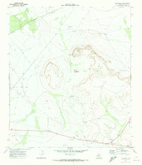
1970 · East Mesa
USGS Topo · 1:24,000
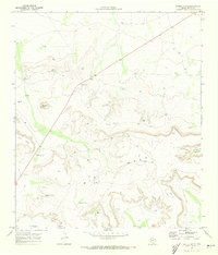
1970 · Saddle Butte
USGS Topo · 1:24,000
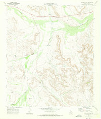
1970 · Panther Bluff
USGS Topo · 1:24,000