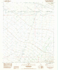
1983 Map of East of Aztec Mines
USGS Topo · Published 1983About this map
Chuckwalla Valley (Depression) defines this stretch of the California desert, where the low-lying basin floor is interrupted only by technical infrastructure and seasonal watercourses. Mapping based on 1970s aerial photography shows a landscape primarily utilized for transit and utility corridors, characterized by the Woodpole Powerline and 2 Ug Gas Lines that traverse the arid terrain. To the northeast, the expanse of Ford Dry Lake serves as a prominent landmark for navigation and local geology.
Find a feature on this map
8 named features on this map. Tap any name to fly to it.
Don’t see what you’re looking for? This feature index may not catch every label — zoom into the map to look around manually.
Map Details
Editions of this 1983 East of Aztec Mines Map
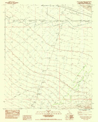
2 editions found
Other maps of this area

1942 · Blythe
USGS Topo · 1:250,000

1952 · Mc Coy Spring
USGS Topo · 1:62,500

1952 · Sidewinder Well
USGS Topo · 1:62,500

1953 · Palo Verde Mountains
USGS Topo · 1:62,500

1953 · Chuckwalla Spring
USGS Topo · 1:62,500

1954 · Salton Sea
USGS Topo · 1:250,000

1955 · Salton Sea
USGS Topo · 1:250,000

1959 · Salton Sea
USGS Topo · 1:250,000

1963 · Salton Sea
USGS Topo · 1:250,000

1965 · Salton Sea
USGS Topo · 1:250,000