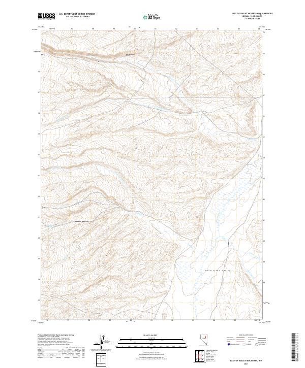
2021 Map of East of Bailey Mountain
USGS Topo · Published 2021About this map
Huntington Valley defines the eastern landscape of this Elko County map, where a complex network of seasonal and perennial waterways drains the high country. The hydrological character of the region is evident in the converging forks of Twin Creek and the long descent of Cottonwood Draw in the north. This 2021 survey reveals a landscape largely defined by its natural drainage patterns rather than dense human settlement, typical of the high basin and range country in eastern Nevada.
Find a feature on this map
17 named features on this map. Tap any name to fly to it.
Don’t see what you’re looking for? This feature index may not catch every label — zoom into the map to look around manually.
Map Details
Editions of this 2021 East of Bailey Mountain Map
This is the sole edition of this map. No revisions or reprints were ever made.
Other maps of this area

1934 · Jiggs
USGS Topo · 1:125,000

1937 · Jiggs
USGS Topo · 1:125,000

1955 · Elko
USGS Topo · 1:250,000

1956 · Robinson Mtn
USGS Topo · 1:62,500

1958 · Elko
USGS Topo · 1:250,000

1959 · Jiggs
USGS Topo · 1:62,500

1959 · Railroad Pass
USGS Topo · 1:62,500

1959 · Sherman Mtn
USGS Topo · 1:62,500

1962 · Elko
USGS Topo · 1:250,000

1965 · Elko
USGS Topo · 1:250,000