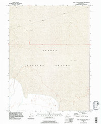
1993 Map of East of Goshute Wash
USGS Topo · Published 1996About this map
Dugway Proving Ground dominates this 1993 revision of the Utah desert, revealing the stark geography of the eastern Goshute Wash area. The terrain is characterized almost exclusively by expansive Mud Flat formations, illustrating the desolate and highly specialized landscape required for military testing and maneuvers. While the map is sparse in terms of traditional settlements, it serves as a precise record of boundary lines, including the intersection of R 16 W and R 15 W and T 8 S and T 9 S. For those studying the Cold War era footprint of American military installations, this survey provides the essential physical context of the Tooele County desert before modern digital revisions.
Find a feature on this map
4 named features on this map. Tap any name to fly to it.
Don’t see what you’re looking for? This feature index may not catch every label — zoom into the map to look around manually.
Map Details
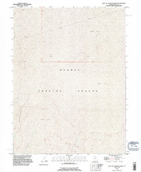
Editions of this 1993 East of Goshute Wash Map
2 editions found
Other maps of this area

1908 · Fish Springs
USGS Topo · 1:250,000

1910 · Fish Springs
USGS Topo · 1:250,000

1953 · Tooele
USGS Topo · 1:250,000

1953 · Delta
USGS Topo · 1:250,000

1955 · Tooele
USGS Topo · 1:250,000

1958 · Delta
USGS Topo · 1:250,000

1962 · Delta
USGS Topo · 1:250,000

1967 · Fish Springs NW
USGS Topo · 1:24,000
1973 · Gold Hill 4 SE
USGS Topo · 1:24,000

1973 · Granite Peak NW
USGS Topo · 1:24,000