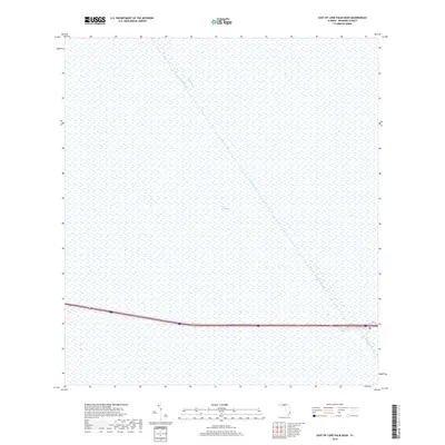
2018 Map of East of Lone Palm Head
USGS Topo · Published 2018About this map
The Everglades dominate this landscape, revealing the expansive wetland character of Broward County before it reaches the densely populated coastal rim. The most prominent human interventions in this environment are the massive drainage and water management projects, specifically the Miami Canal and Mud Canal. These waterways slice diagonally across the terrain, serving as critical infrastructure for controlling the flow of water through the marshlands. A major interstate highway cuts horizontally across the lower third of the quadrangle, illustrating the modern transport corridor that bridges the wilderness of the interior with the urbanized regions of South Florida. This 2018 survey provides a clear look at the persistent boundary between the natural preservation of the glades and the engineered systems required to sustain local development.
Find a feature on this map
3 named features on this map. Tap any name to fly to it.
Don’t see what you’re looking for? This feature index may not catch every label — zoom into the map to look around manually.
Map Details
Editions of this 2018 East of Lone Palm Head Map
This is the sole edition of this map. No revisions or reprints were ever made.
Other maps of this area

1956 · West Palm Beach
USGS Topo · 1:250,000

1957 · West Palm Beach
USGS Topo · 1:250,000

1958 · West Palm Beach
USGS Topo · 1:250,000
1973 · Everglades 4 NW
USGS Topo · 1:24,000
1973 · Everglades 4 NE
USGS Topo · 1:24,000
1973 · Everglades 4 SE
USGS Topo · 1:24,000

1973 · Everglades 4 SW
USGS Topo · 1:24,000
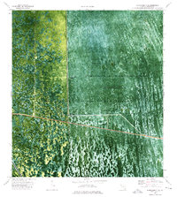
1973 · Everglades 3 NE
USGS Topo · 1:24,000
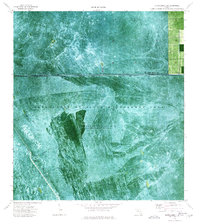
1974 · Everglades 1 SW
USGS Topo · 1:24,000
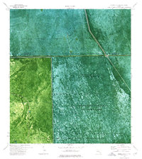
1974 · Everglades 2 SE
USGS Topo · 1:24,000