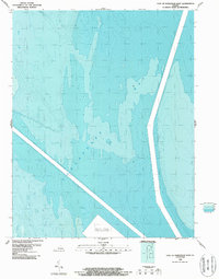
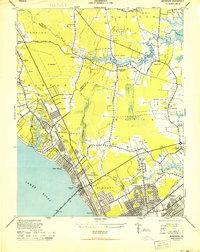
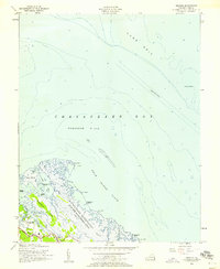
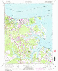
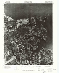
1986 Map of East of Poquoson East
USGS Topo · Published 1987This historical map portrays the area of East of Poquoson East in 1986, primarily covering York County as well as portions of Northampton County. Featuring a scale of 1:24000, this map provides a highly detailed snapshot of the terrain, roads, buildings, counties, and historical landmarks in the East of Poquoson East region at the time. Published in 1987, it is the sole known edition of this map.
Find a feature on this map
2 named features on this map. Tap any name to fly to it.
Don’t see what you’re looking for? This feature index may not catch every label — zoom into the map to look around manually.
Map Details
Editions of this 1986 East of Poquoson East Map
This is the sole edition of this map. No revisions or reprints were ever made.
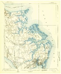
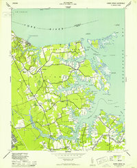
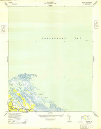
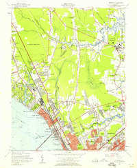
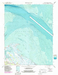
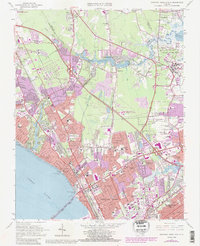
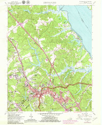
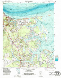
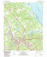
Historical Maps of Poquoson Through Time
20 maps found
1907 Hampton
York County, VA
1944 Harris Grove
York County, VA
1944 Messick
York County, VA
1944 Morrison
York County, VA
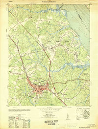
1951 Williamsburg
York County, VA
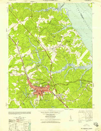
1952 Williamsburg
York County, VA
1955 Harris Grove
York County, VA
1955 Messick
York County, VA
1955 Morrison
York County, VA
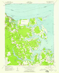
1964 Poquoson East
York County, VA
1965 Newport News North
York County, VA
1965 Poquoson West
York County, VA
1965 Williamsburg
York County, VA
1973 Newport News North
York County, VA
1973 Poquoson East
York County, VA
1973 Poquoson West
York County, VA
1983 Poquoson West
York County, VA
1984 Williamsburg
York County, VA
1986 East of Hampton
York County, VA
1986 East of Poquoson East
York County, VA