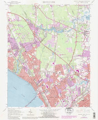
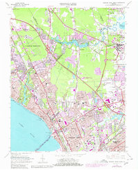
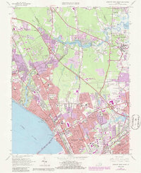
1965 Map of Newport News North
USGS Topo · Published 1986About this map
The James River waterfront and the expanding urban infrastructure of the Virginia Peninsula define this mid-1960s survey, revised in the early 1980s. Post-war suburban growth is evident in planned communities like Hilton Village and Aberdeen Gardens, while institutional development is marked by the presence of Christopher Newport College and Thomas Nelson Community College. The landscape is a complex mix of military reservations, including Langley Air Force Base, and essential water management features like the Big Bethel Reservoir on Brick Kiln Creek.
Find a feature on this map
83 named features on this map. Tap any name to fly to it.
Don’t see what you’re looking for? This feature index may not catch every label — zoom into the map to look around manually.
Map Details
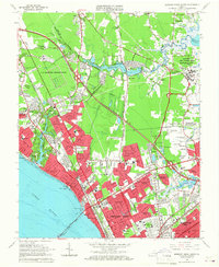
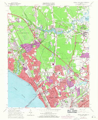
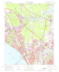
Editions of this 1965 Newport News North Map
6 editions found
Other maps of this area

1907 · Norfolk
USGS Topo · 1:125,000

1907 · Yorktown
USGS Topo · 1:62,500

1907 · Hampton
USGS Topo · 1:62,500

1919 · Smithfield
USGS Topo · 1:62,500

1921 · Newport News
USGS Topo · 1:62,500

1943 · Yorktown
USGS Topo · 1:62,500

1943 · Richmond
USGS Topo · 1:250,000

1944 · Hampton
USGS Topo · 1:24,000

1944 · Yorktown
USGS Topo · 1:24,000

1944 · Messick
USGS Topo · 1:24,000