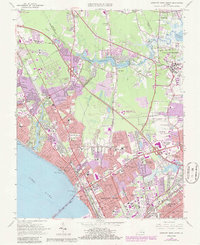
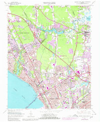
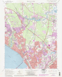
1965 Map of Newport News North
USGS Topo · Published 1986About this map
Newport News and Hampton anchor this mid-century portrait of coastal Virginia, where suburban expansion meets significant military and maritime infrastructure. The dense residential patterns of neighborhoods like Hilton Village, Aberdeen Gardens, and Sedgefield contrast with the sprawling facilities of Langley Air Force Base and Patrick Henry International Airport. The geography is defined by its relationship to the James River and Big Bethel Reservoir, while the Chesapeake and Ohio railroad corridor provides a glimpse into the industrial bones of the region.
Find a feature on this map
81 named features on this map. Tap any name to fly to it.
Don’t see what you’re looking for? This feature index may not catch every label — zoom into the map to look around manually.
Map Details
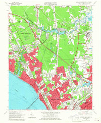
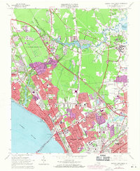
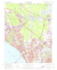
Editions of this 1965 Newport News North Map
6 editions found
Other maps of this area

1907 · Norfolk
USGS Topo · 1:125,000

1907 · Yorktown
USGS Topo · 1:62,500

1907 · Hampton
USGS Topo · 1:62,500

1919 · Smithfield
USGS Topo · 1:62,500

1921 · Newport News
USGS Topo · 1:62,500

1943 · Yorktown
USGS Topo · 1:62,500

1943 · Richmond
USGS Topo · 1:250,000

1944 · Hampton
USGS Topo · 1:24,000

1944 · Yorktown
USGS Topo · 1:24,000

1944 · Messick
USGS Topo · 1:24,000