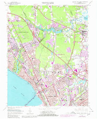
1965 Map of Newport News North
USGS Topo · Published 1980About this map
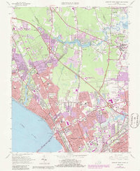
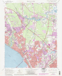
The James River shoreline and the inland expansion of the Virginia Peninsula define this 1960s landscape, just as modern infrastructure began to reshape the historic Tidewater. Significant institutional presence is marked by the Langley Research Center and Patrick Henry International Airport, while the Mariners Museum and Christopher Newport College anchor the cultural and educational corridor near the river. Residential growth is evident in planned communities and neighborhoods such as Hilton Village, Aberdeen Gardens, and Sedgefield, separated by the Big Bethel Reservoir and various military reservations. The Chesapeake and Ohio railroad tracks run parallel to the coast, following a transportation spine that links established settlements like Morrison and Harpersville with the industrial and urban centers of Newport News and Hampton.
Find a feature on this map
88 named features on this map. Tap any name to fly to it.
Don’t see what you’re looking for? This feature index may not catch every label — zoom into the map to look around manually.
Map Details
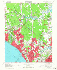
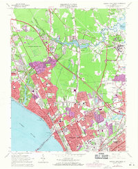
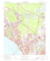
Editions of this 1965 Newport News North Map
6 editions found
Other maps of this area

1907 · Norfolk
USGS Topo · 1:125,000

1907 · Yorktown
USGS Topo · 1:62,500

1907 · Hampton
USGS Topo · 1:62,500

1919 · Smithfield
USGS Topo · 1:62,500

1921 · Newport News
USGS Topo · 1:62,500

1943 · Yorktown
USGS Topo · 1:62,500

1943 · Richmond
USGS Topo · 1:250,000

1944 · Hampton
USGS Topo · 1:24,000

1944 · Yorktown
USGS Topo · 1:24,000

1944 · Messick
USGS Topo · 1:24,000