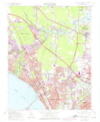
1965 Map of Newport News North
USGS Topo · Published 1974About this map
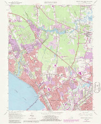
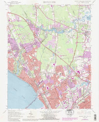
The James River shoreline and the sprawling military installations of the Virginia Peninsula define this 1960s landscape during a period of rapid suburban expansion. Large tracts of land are dedicated to the Langley Air Force Base (Research Center) and various U S Military Reservations, while the Big Bethel Reservoir serves as a central landmark between the growing cities of Newport News and Hampton. The map captures the infrastructure of the era, from the Chesapeake and Ohio Railway corridor to the emerging highway network of Mercury Blvd and the James River Bridge. Local history is preserved in the location of established neighborhoods like Aberdeen Gardens and Hilton Village, alongside numerous institutional sites such as the Virginia School for the Deaf and Blind and several cemeteries including the Hebrew Cem and Carys Ch Cem.
Find a feature on this map
78 named features on this map. Tap any name to fly to it.
Don’t see what you’re looking for? This feature index may not catch every label — zoom into the map to look around manually.
Map Details
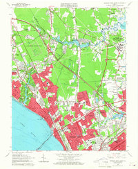
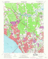
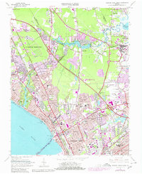
Editions of this 1965 Newport News North Map
6 editions found
Other maps of this area

1907 · Norfolk
USGS Topo · 1:125,000

1907 · Yorktown
USGS Topo · 1:62,500

1907 · Hampton
USGS Topo · 1:62,500

1919 · Smithfield
USGS Topo · 1:62,500

1921 · Newport News
USGS Topo · 1:62,500

1943 · Yorktown
USGS Topo · 1:62,500

1943 · Richmond
USGS Topo · 1:250,000

1944 · Hampton
USGS Topo · 1:24,000

1944 · Yorktown
USGS Topo · 1:24,000

1944 · Messick
USGS Topo · 1:24,000