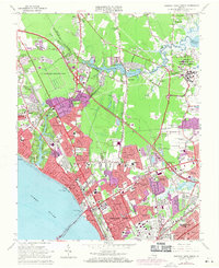
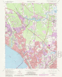
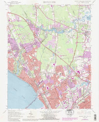
1965 Map of Newport News North
USGS Topo · Published 1971About this map
Newport News and Hampton expanded rapidly during the mid-1960s, a transformation visible in the extensive urban infill shown in purple revisions. The James River shoreline serves as a focal point for civic and cultural life, anchored by the Mariners Museum and Huntington Park. Residential patterns reflect the era's growth, from the established streets of Hilton Village to newer developments like Aberdeen Gardens and Greenwood Farms.
Find a feature on this map
75 named features on this map. Tap any name to fly to it.
Don’t see what you’re looking for? This feature index may not catch every label — zoom into the map to look around manually.
Map Details
Editions of this 1965 Newport News North Map
6 editions found
Other maps of this area

1907 · Norfolk
USGS Topo · 1:125,000

1907 · Yorktown
USGS Topo · 1:62,500

1907 · Hampton
USGS Topo · 1:62,500

1919 · Smithfield
USGS Topo · 1:62,500

1921 · Newport News
USGS Topo · 1:62,500

1943 · Yorktown
USGS Topo · 1:62,500

1943 · Richmond
USGS Topo · 1:250,000

1944 · Hampton
USGS Topo · 1:24,000

1944 · Yorktown
USGS Topo · 1:24,000

1944 · Messick
USGS Topo · 1:24,000