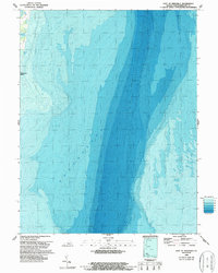
1968 Map of East of Reedville
USGS Topo · Published 1987About this map
Chesapeake Bay dominates this bathymetric-topographic study, revealing the complex underwater contours and shoreline transition of the Virginia coast during the late 1960s. The small coastal enclave at Chesapeake Beach sits along a narrow strip of land punctuated by tidal inlets and coastal water bodies. These features, including the sheltered waters of Gaskin Pond and Owens Pond, illustrate the delicate balance between the land and the rising tides of the bay.
Find a feature on this map
6 named features on this map. Tap any name to fly to it.
Don’t see what you’re looking for? This feature index may not catch every label — zoom into the map to look around manually.
Map Details
Editions of this 1968 East of Reedville Map
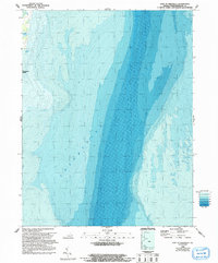
2 editions found
Other maps of this area

1916 · Kilmarnock
USGS Topo · 1:48,000

1917 · Heathsville
USGS Topo · 1:48,000

1917 · Kilmarnock
USGS Topo · 1:62,500

1917 · Ewell
USGS Topo · 1:62,500

1942 · Kilmarnock
USGS Topo · 1:62,500

1942 · Ewell
USGS Topo · 1:24,000
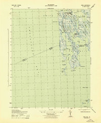
1943 · Ewell
USGS Topo · 1:31,680

1943 · Richmond
USGS Topo · 1:250,000
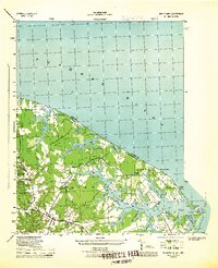
1944 · Sunnybank
USGS Topo · 1:31,680

1944 · Reedville
USGS Topo · 1:31,680