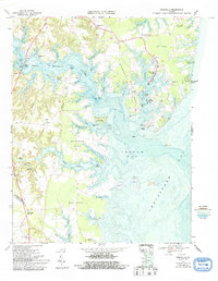
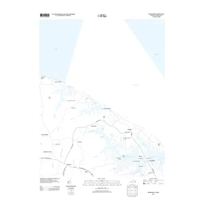
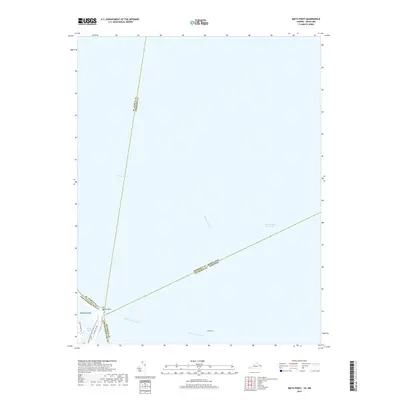
1968 Map of East of Reedville
USGS Topo · Published 1993About this map
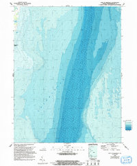
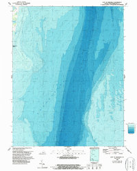
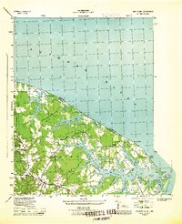
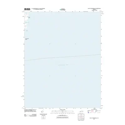
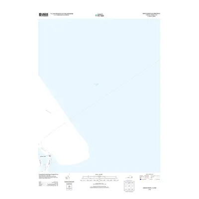
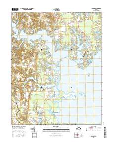
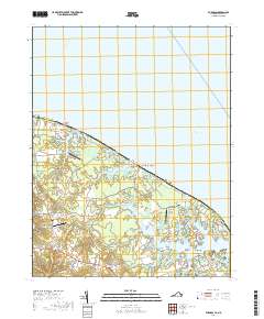
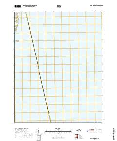
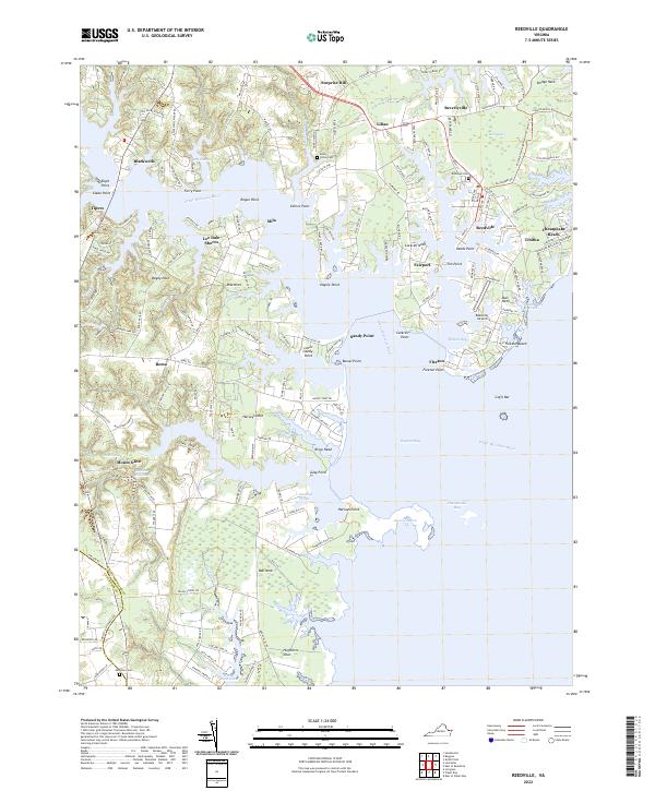
Chesapeake Bay dominates this bathymetric study, revealing the complex underwater topography of the shipping channels and shoals along the Northern Neck. While the majority of the map focuses on the deep waters and shelf of the bay, the western margin provides a detailed look at the interface between land and sea at Chesapeake Beach. This shoreline is characterized by narrow inlets and protected coastal water bodies like Gaskin Pond and Owens Pond, which are separated from the open bay by thin barrier strips. Local history is anchored at the northern edge by a small Cem near Rock Hole, marking a legacy of maritime settlement in Northumberland County. The detailed bathymetric contouring illustrates how the bay's floor drops away from the coastline, a vital perspective for understanding the historic navigation of these Virginia waters.
Find a feature on this map
6 named features on this map. Tap any name to fly to it.
Don’t see what you’re looking for? This feature index may not catch every label — zoom into the map to look around manually.
Map Details
Editions of this 1968 East of Reedville Map
2 editions found
Historical Maps of Accomack County Through Time
39 maps found
1944 Lottsburg
Northumberland County, VA
1944 Reedville
Northumberland County, VA
1944 Sunnybank
Northumberland County, VA
1953 Sunnybank
Northumberland County, VA
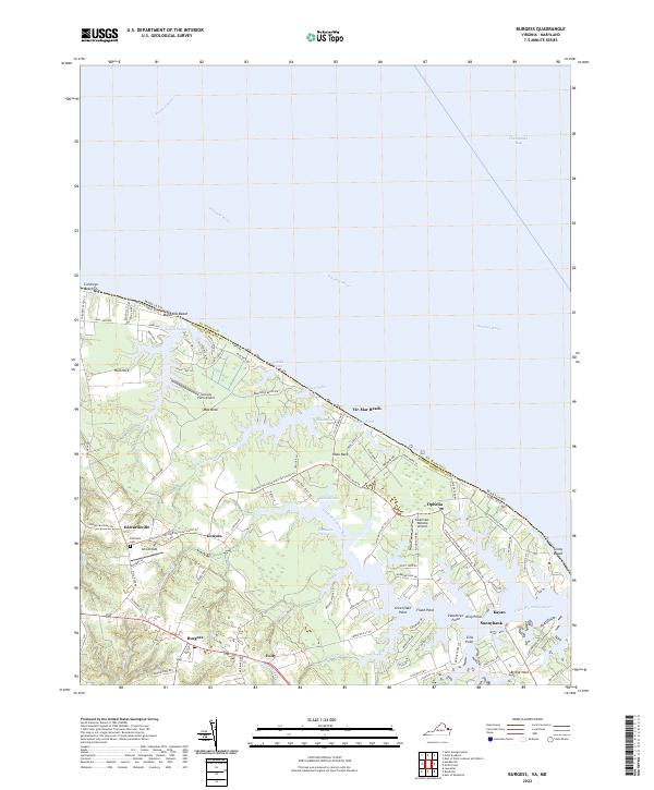
1968 Burgess
Northumberland County, VA
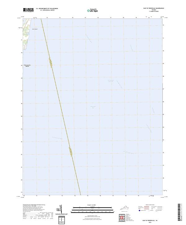
1968 East of Reedville
Northumberland County, VA
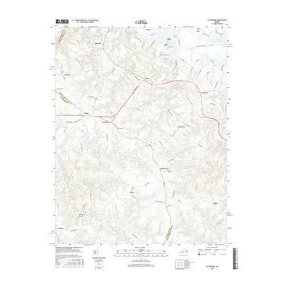
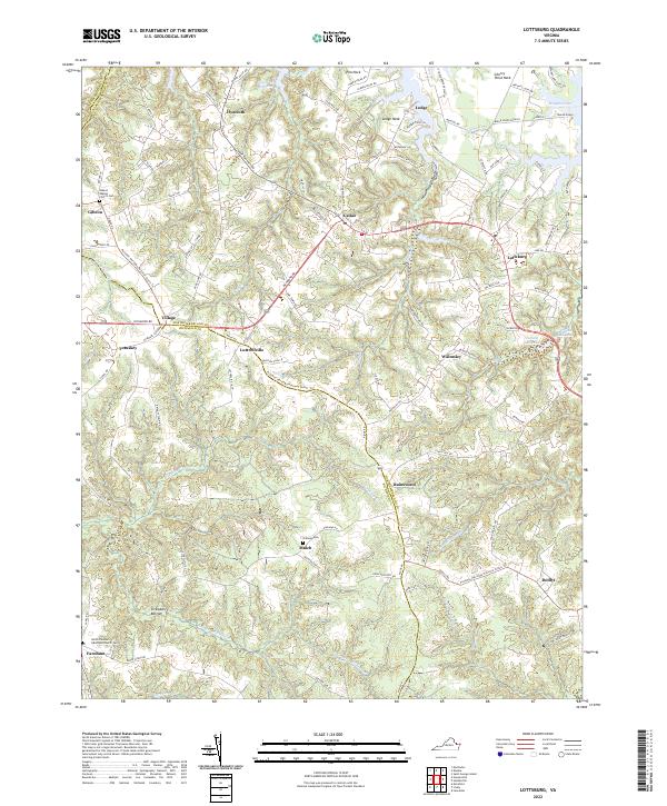
1968 Lottsburg
Northumberland County, VA
1968 Reedville
Northumberland County, VA
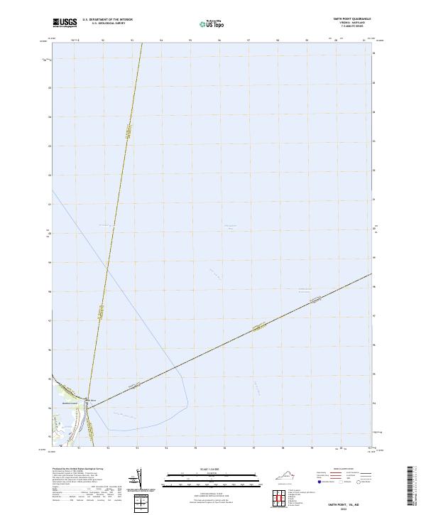
1968 Smith Point
Northumberland County, VA
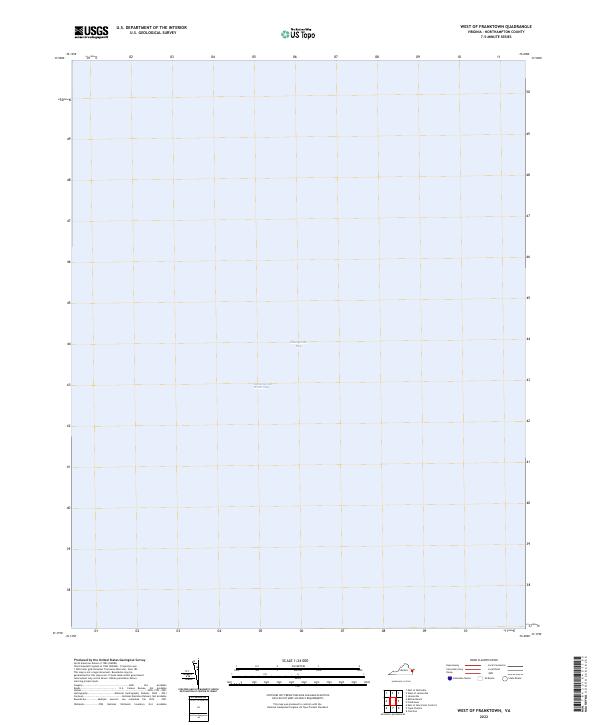
1986 West of Franktown
Northumberland County, VA
2011 Burgess
Northumberland County, VA
2011 East of Reedville
Northumberland County, VA
2011 Lottsburg
Northumberland County, VA
2011 Reedville
Northumberland County, VA
2011 Smith Point
Northumberland County, VA
2013 Burgess
Northumberland County, VA
2013 East of Reedville
Northumberland County, VA
2013 Lottsburg
Northumberland County, VA
2013 Reedville
Northumberland County, VA
2013 Smith Point
Northumberland County, VA
2013 West of Franktown
Northumberland County, VA
2016 Burgess
Northumberland County, VA
2016 East of Reedville
Northumberland County, VA
2016 Lottsburg
Northumberland County, VA
2016 Reedville
Northumberland County, VA
2016 Smith Point
Northumberland County, VA
2016 West of Franktown
Northumberland County, VA
2019 Burgess
Northumberland County, VA
2019 East of Reedville
Northumberland County, VA
2019 Lottsburg
Northumberland County, VA
2019 Reedville
Northumberland County, VA
2019 Smith Point
Northumberland County, VA
2019 West of Franktown
Northumberland County, VA
2022 Burgess
Northumberland County, VA
2022 East of Reedville
Northumberland County, VA
2022 Lottsburg
Northumberland County, VA
2022 Reedville
Northumberland County, VA
2022 Smith Point
Northumberland County, VA
2022 West of Franktown
Northumberland County, VA