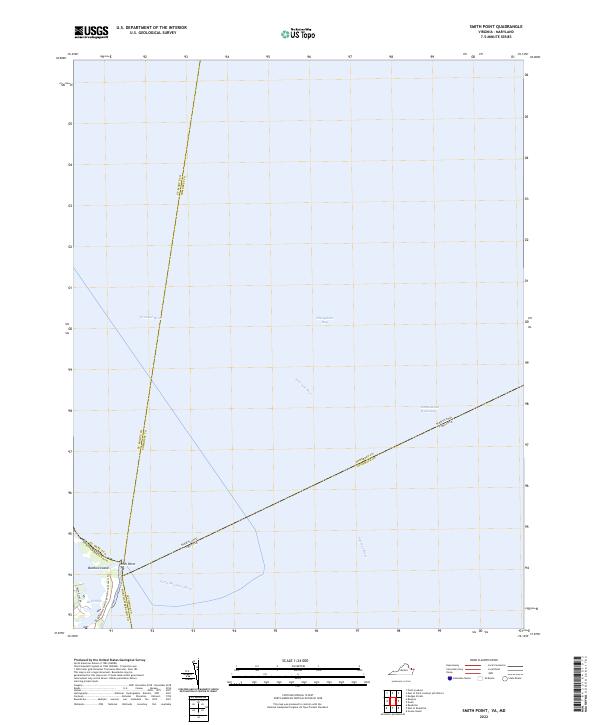
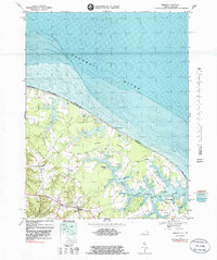
2022 Map of Smith Point
USGS Topo · Published 2022About this map
Potomac River and Chesapeake Bay converge at the tip of Virginia's Northern Neck on this maritime survey. The landscape is defined by the shifting confluence of the Northern Neck, the Maryland state line, and the waters of the Intracoastal Waterway. The settlement at Smith Point serves as a critical navigation marker where the Little Wicomico River meets the bay. Modern conservation and recreation are visible through the Potomac Heritage National Scenic Trl, which winds through this coastal environment. Small geographic features like Bamboo Island and the inlet at Rock Hole illustrate the intricate shoreline of the Chesapeake. The map highlights the complex jurisdictional boundaries of Northumberland County, Accomack County, and the Maryland counties of St. Mary's and Somerset, all meeting in these tidal reaches.
Find a feature on this map
14 named features on this map. Tap any name to fly to it.
Don’t see what you’re looking for? This feature index may not catch every label — zoom into the map to look around manually.
Map Details
Editions of this 2022 Smith Point Map
This is the sole edition of this map. No revisions or reprints were ever made.
Historical Maps of Saint Mary's County Through Time
16 maps found
1944 Lottsburg
Northumberland County, VA
1944 Reedville
Northumberland County, VA
1944 Sunnybank
Northumberland County, VA
1953 Sunnybank
Northumberland County, VA
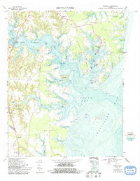
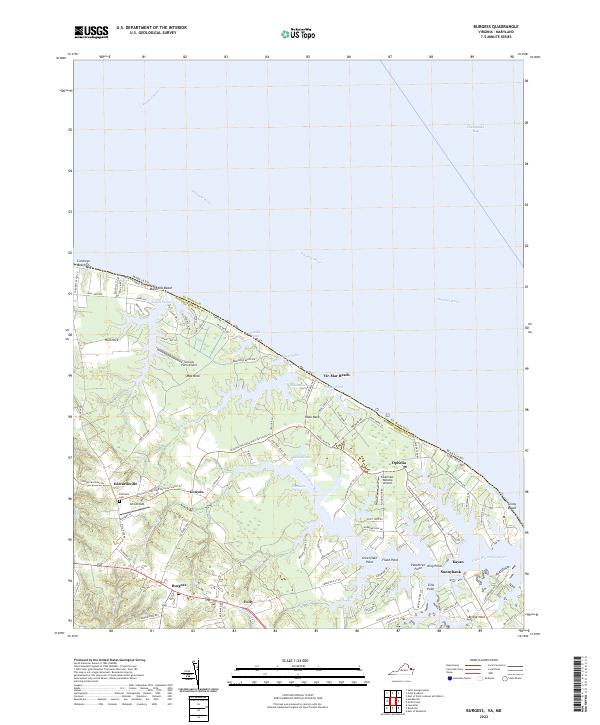
1968 Burgess
Northumberland County, VA
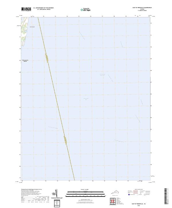
1968 East of Reedville
Northumberland County, VA
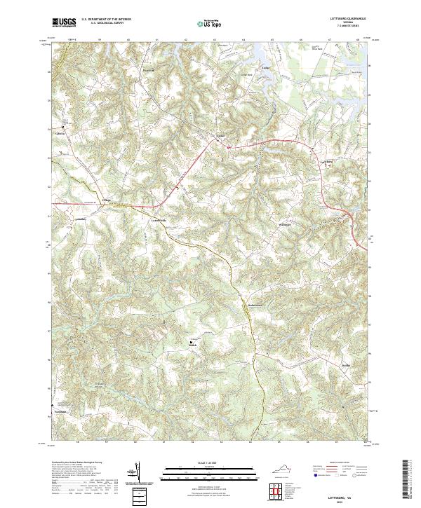
1968 Lottsburg
Northumberland County, VA
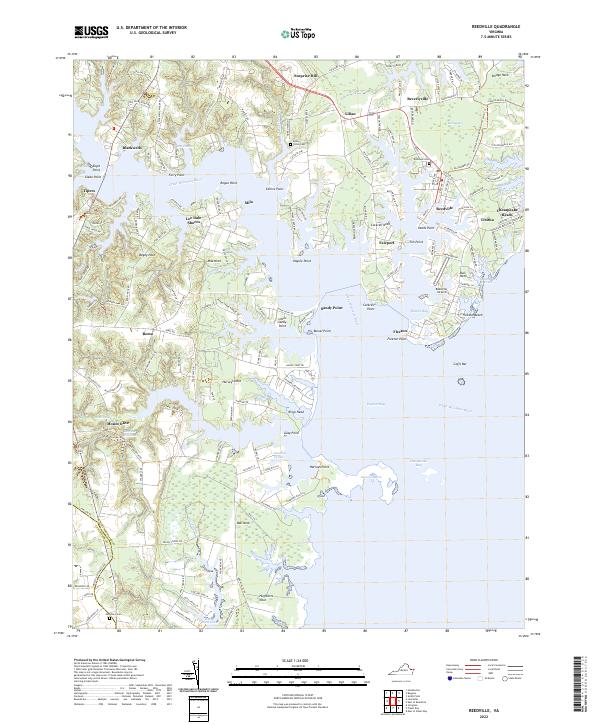
1968 Reedville
Northumberland County, VA
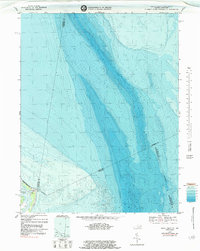
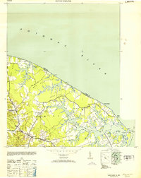
1968 Smith Point
Northumberland County, VA
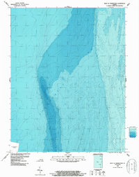
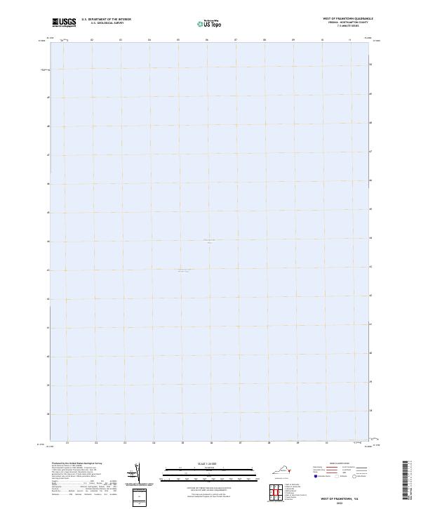
1986 West of Franktown
Northumberland County, VA
2022 Burgess
Northumberland County, VA
2022 East of Reedville
Northumberland County, VA
2022 Lottsburg
Northumberland County, VA
2022 Reedville
Northumberland County, VA
2022 Smith Point
Northumberland County, VA
2022 West of Franktown
Northumberland County, VA