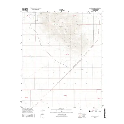
2015 Map of East of Victory Pass
USGS Topo · Published 2015About this map
Coxcomb Mountains dominate this high-desert landscape in eastern Riverside County, where the stark topography of the Mojave and Colorado deserts meet. This modern survey illustrates the critical water and power infrastructure that sustains Southern California, most notably the Colorado River Aqueduct as it transitions from open channel into the Coxcomb Tunnel. A significant portion of the sheet is protected within Joshua Tree National Park, preserving the undisturbed terrain south of the mountains. The vast, arid drainage of Pinto Wash cuts across the western portion of the quadrangle, while the diagonal path of Rice Rd provides the primary transit corridor through this remote region, following the natural contours of the valley floor.
Find a feature on this map
15 named features on this map. Tap any name to fly to it.
Don’t see what you’re looking for? This feature index may not catch every label — zoom into the map to look around manually.
Map Details
Editions of this 2015 East of Victory Pass Map
This is the sole edition of this map. No revisions or reprints were ever made.
Other maps of this area

1943 · Coxcomb Mountains
USGS Topo · 1:62,500

1944 · Chuckwalla Mountains
USGS Topo · 1:62,500

1944 · Coxcomb Mountains
USGS Topo · 1:62,500

1952 · Sidewinder Well
USGS Topo · 1:62,500

1952 · Palen Mountains
USGS Topo · 1:62,500

1954 · Salton Sea
USGS Topo · 1:250,000

1955 · Salton Sea
USGS Topo · 1:250,000

1959 · Salton Sea
USGS Topo · 1:250,000

1963 · Salton Sea
USGS Topo · 1:250,000

1963 · Chuckwalla Mountains
USGS Topo · 1:62,500