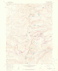
1958 Map of East Portal
USGS Topo · Published 1960About this map
The Continental Divide serves as the central spine of this 1958 survey, where the border between the Arapaho National Forest and Roosevelt National Forest follows the high peaks. The landscape is defined by its engineering history, most notably the massive Moffat Tunnel cutting through the mountains. Above it, the former rail route remains visible through features like the Riflesight Notch Loop and the Franke Old Grade Orig. "High Line", tracing the grueling path trains took before the tunnel's completion. At the high point of Rollins Pass, the Corona (Site) marks where a high-altitude station once stood. To the east, the East Portal serves as the gateway for the Denver and Rio Grande Western line, while the surrounding terrain is dotted with alpine water bodies like Skyscraper Reservoir, Jasper Lake, and the Arapaho Lakes.
Find a feature on this map
60 named features on this map. Tap any name to fly to it.
Don’t see what you’re looking for? This feature index may not catch every label — zoom into the map to look around manually.
Map Details
Editions of this 1958 East Portal Map
10 editions found
1960 edition
22.3 x 26.9 inches
1960 edition
22.3 x 26.9 inches
1961 edition
22.2 x 26.9 inches
1965 edition
22.3 x 26.9 inches
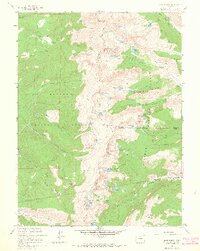
1965 edition
21.39 x 26.81 inches
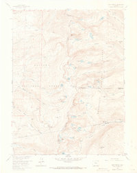
1973 edition
21.6 x 27.2 inches
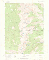
1973 edition
22.3 x 27 inches
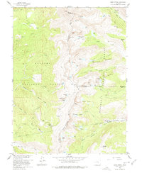
1978 edition
22.1 x 27 inches
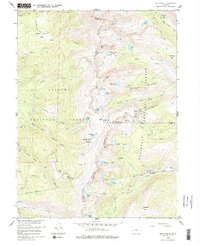
1983 edition
22.03 x 26.95 inches
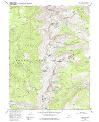
1983 edition
21.78 x 26.88 inches
Other maps of this area

1905 · Central City
USGS Topo · 1:62,500

1910 · Central City
USGS Topo · 1:62,500

1912 · Central City
USGS Topo · 1:62,500

1915 · Longs Peak
USGS Topo · 1:125,000

1919 · Rocky Mountain National Park
USGS Topo · 1:125,000

1924 · Fraser
USGS Topo · 1:62,500

1926 · Fraser
USGS Topo · 1:62,500

1942 · Nederland
USGS Topo · 1:24,000

1942 · Central City
USGS Topo · 1:24,000
1944 · Nederland
USGS Topo · 1:31,680
Featured Places
- Diamond Lake Campground, CO
- East Portal Distributed Camping Area, CO
- Winter Park, CO
- Buckingham Campground, CO
- Grand County, CO