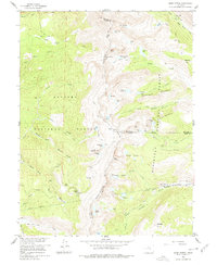
1958 Map of East Portal
USGS Topo · Published 1978About this map
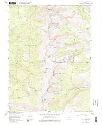
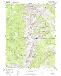
The Moffat Tunnel serves as the focal point of this survey, marking a critical engineering feat through the heart of the high Rockies at East Portal. This region, split by the Continental Divide, showcases the evolution of transcontinental travel, where the Denver and Rio Grande Western railroad replaced the treacherous high-altitude crossings of previous eras. Traces of that older transit history are visible in the Old Railroad Grade and the Rollins Pass (Site), which once served as the primary route over the crest before subterranean tunneling provided a more reliable passage. High-altitude hydrology is documented through a network of alpine lakes and reservoirs, including Yankee Doodle Lake and Skyscraper Reservoir, nestled beneath peaks like Mt Epworth and Chittenden Mtn. The map clearly delineates the administrative boundary between the Arapaho National Forest and Roosevelt National Forest, emphasizing the importance of these public lands for water management and transit.
Find a feature on this map
66 named features on this map. Tap any name to fly to it.
Don’t see what you’re looking for? This feature index may not catch every label — zoom into the map to look around manually.
Map Details
Editions of this 1958 East Portal Map
10 editions found
1960 edition
22.3 x 26.9 inches
1960 edition
22.3 x 26.9 inches
1961 edition
22.2 x 26.9 inches
1965 edition
22.3 x 26.9 inches
1965 edition
21.39 x 26.81 inches
1973 edition
21.6 x 27.2 inches
1973 edition
22.3 x 27 inches
1978 edition
22.1 x 27 inches
1983 edition
22.03 x 26.95 inches
1983 edition
21.78 x 26.88 inches
Other maps of this area

1905 · Central City
USGS Topo · 1:62,500

1910 · Central City
USGS Topo · 1:62,500

1912 · Central City
USGS Topo · 1:62,500

1915 · Longs Peak
USGS Topo · 1:125,000

1919 · Rocky Mountain National Park
USGS Topo · 1:125,000

1924 · Fraser
USGS Topo · 1:62,500

1926 · Fraser
USGS Topo · 1:62,500

1942 · Nederland
USGS Topo · 1:24,000

1942 · Central City
USGS Topo · 1:24,000
1944 · Nederland
USGS Topo · 1:31,680
Featured Places
- Diamond Lake Campground, CO
- East Portal Distributed Camping Area, CO
- Winter Park, CO
- Buckingham Campground, CO
- Grand County, CO