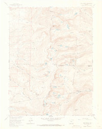
1958 Map of East Portal
USGS Topo · Published 1973About this map
The Continental Divide defines the spine of this high-altitude landscape, separating the drainage of Hamilton Creek and Cabin Creek to the west from the South Fork Boulder Creek to the east. At the center of the sheet, the Rollins Pass (Site) marks a critical historical crossing point where the Boulder Wagon Road met early rail infrastructure. By the late 1950s, the engineering marvel of the Moffat Tunnel had transformed the region's transport, with the East Portal serving as a focal point for the Denver and Rio Grande Western railroad operations. The map details the intricate path of the Corona Trail and the dramatic looping rail alignment at Riflesight Notch, reflecting a period when remote mountain passes were being actively studied at sites like the Corona Range Study Plot. High-basin features such as Skyscraper Reservoir and Yankee Doodle Lake illustrate the management of alpine water resources across the Arapaho National Forest and Roosevelt National Forest.
Find a feature on this map
62 named features on this map. Tap any name to fly to it.
Don’t see what you’re looking for? This feature index may not catch every label — zoom into the map to look around manually.
Map Details
Editions of this 1958 East Portal Map
10 editions found
1960 edition
22.3 x 26.9 inches
1960 edition
22.3 x 26.9 inches
1961 edition
22.2 x 26.9 inches
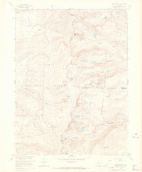
1965 edition
22.3 x 26.9 inches
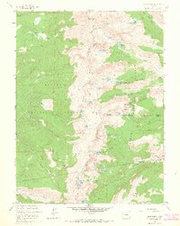
1965 edition
21.39 x 26.81 inches
1973 edition
21.6 x 27.2 inches
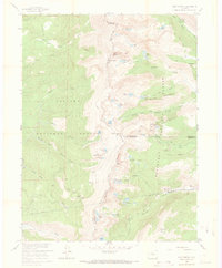
1973 edition
22.3 x 27 inches
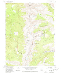
1978 edition
22.1 x 27 inches
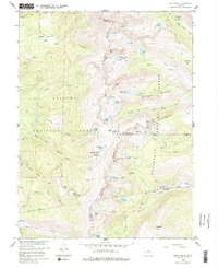
1983 edition
22.03 x 26.95 inches
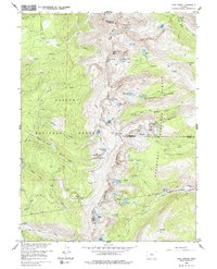
1983 edition
21.78 x 26.88 inches
Other maps of this area

1905 · Central City
USGS Topo · 1:62,500

1910 · Central City
USGS Topo · 1:62,500

1912 · Central City
USGS Topo · 1:62,500

1915 · Longs Peak
USGS Topo · 1:125,000

1919 · Rocky Mountain National Park
USGS Topo · 1:125,000

1924 · Fraser
USGS Topo · 1:62,500

1926 · Fraser
USGS Topo · 1:62,500

1942 · Nederland
USGS Topo · 1:24,000

1942 · Central City
USGS Topo · 1:24,000
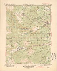
1944 · Nederland
USGS Topo · 1:31,680
Featured Places
- Diamond Lake Campground, CO
- East Portal Distributed Camping Area, CO
- Winter Park, CO
- Buckingham Campground, CO
- Grand County, CO