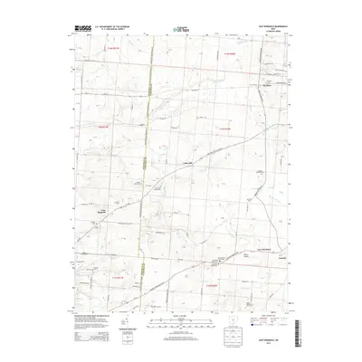
2013 Map of East Ringgold
USGS Topo · Published 2013About this map
East Ringgold and the surrounding agricultural landscape define the border between Pickaway and Fairfield counties in this early 21st-century record. The area is characterized by a high density of ancestral burial grounds and family-named homesteads, such as Leist Farms and Stebleton Farm. The terrain is marked by a complex network of small waterways, including Little Walnut Cr, Turkey Run, and Cherry Run, which carve through the land near Cedar Hill.
Find a feature on this map
104 named features on this map. Tap any name to fly to it.
Don’t see what you’re looking for? This feature index may not catch every label — zoom into the map to look around manually.
Map Details
Editions of this 2013 East Ringgold Map
This is the sole edition of this map. No revisions or reprints were ever made.
Other maps of this area

1907 · Lancaster
USGS Topo · 1:62,500

1907 · Thurston
USGS Topo · 1:62,500

1909 · Lancaster
USGS Topo · 1:62,500

1909 · Thurston
USGS Topo · 1:62,500

1914 · Circleville
USGS Topo · 1:62,500

1925 · East Columbus
USGS Topo · 1:62,500

1943 · Circleville
USGS Topo · 1:62,500

1943 · East Columbus
USGS Topo · 1:62,500

1947 · Columbus
USGS Topo · 1:250,000
1955 · Lockbourne
USGS Topo · 1:24,000