
1935 Map of East Stone Gap
USGS Topo · Published 1935About this map
Powell Valley serves as a corridor for settlement and industry in the mid-1930s, anchored by the community of East Stone Gap. The Southern RR passes through Elverton Station, facilitating movement along the South Fork Powell River. To the southeast, the landscape transitions into a series of steep ridges and isolated coves, including Morris Mountain and Grindstone Ridge. These upland areas are dotted with small community centers defined by local institutions, such as Dortons Chapel and Cracker Neck Sch.
Find a feature on this map
61 named features on this map. Tap any name to fly to it.
Don’t see what you’re looking for? This feature index may not catch every label — zoom into the map to look around manually.
Map Details
Editions of this 1935 East Stone Gap Map
This is the sole edition of this map. No revisions or reprints were ever made.
Other maps of this area

1894 · Estillville
USGS Topo · 1:125,000

1920 · Wise
USGS Topo · 1:48,000

1921 · Big Stone Gap
USGS Topo · 1:48,000

1921 · Wise
USGS Topo · 1:62,500

1922 · Big Stone Gap
USGS Topo · 1:62,500

1929 · Big Stone Gap
USGS Topo · 1:62,500
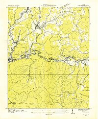
1935 · Wise
USGS Topo · 1:24,000

1935 · Moggasin
USGS Topo · 1:48,000
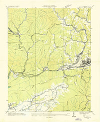
1935 · Norton
USGS Topo · 1:24,000
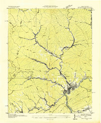
1935 · Appalachia
USGS Topo · 1:24,000