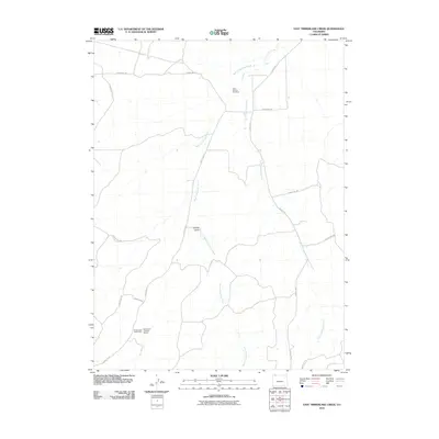
2010 Map of East Timberlake Creek
USGS Topo · Published 2010About this map
Delta Number Two Mine sits in the high desert drainage of the Colorado plateau, marking a landscape defined by mineral extraction and seasonal watercourses. This 2010 survey reveals the geographic relationship between resource deposits and the sparse infrastructure of Moffat County. To the south, the Housel Gold Placer Mine and the Farnsworth Uranium Deposit illustrate the diverse geologic interests of the region, from precious metals to energy resources. The terrain is deeply etched by East Timberlake Creek and West Timberlake Creek, which converge as they flow northward through the arid basin. Navigating this area relies on a network of rugged paths such as County Rd-17 and County Rd-3, which wind around landmarks like Housel Gulch, providing access to these remote mining sites and grazing lands.
Find a feature on this map
15 named features on this map. Tap any name to fly to it.
Don’t see what you’re looking for? This feature index may not catch every label — zoom into the map to look around manually.
Map Details
Editions of this 2010 East Timberlake Creek Map
This is the sole edition of this map. No revisions or reprints were ever made.
Other maps of this area
1916 · Craig
USGS Topo · 1:125,000

1954 · Craig
USGS Topo · 1:250,000
1957 · Craig
USGS Topo · 1:250,000
1958 · Craig
USGS Topo · 1:250,000
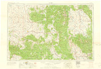
1960 · Craig
USGS Topo · 1:250,000
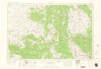
1962 · Craig
USGS Topo · 1:250,000
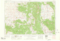
1964 · Craig
USGS Topo · 1:250,000
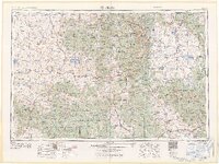
1965 · Craig
USGS Topo · 1:250,000
1969 · Great Divide
USGS Topo · 1:24,000
1969 · Fortification
USGS Topo · 1:24,000