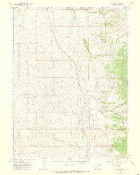
1969 Map of Fortification
USGS Topo · Published 1972About this map
Fortification Creek and its various tributaries, including Fourmile Creek and Mud Spring Draw, carve through the high-elevation terrain of Moffat County in the late 1960s. The landscape reflects a mix of traditional ranching and modern infrastructure, evidenced by the presence of Pondella Ranch and the Mesa View Ranch alongside a prominent Pipeline and a small Landing Strip. The eponymous Fortification settlement and the nearby geological formation of Fortification Rocks serve as central landmarks for the area. A network of Jeep Trails provides access through the drainage basins of the North Fork and South Fork, illustrating the area's transition into a more accessible, though still remote, cattle and resource territory.
Find a feature on this map
14 named features on this map. Tap any name to fly to it.
Don’t see what you’re looking for? This feature index may not catch every label — zoom into the map to look around manually.
Map Details
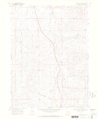
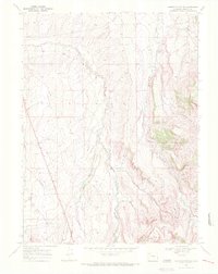
Editions of this 1969 Fortification Map
3 editions found
Other maps of this area

1916 · Craig
USGS Topo · 1:125,000

1923 · Elkhead Creek
USGS Topo · 1:62,500

1924 · Elkhead Creek
USGS Topo · 1:62,500

1954 · Craig
USGS Topo · 1:250,000

1957 · Craig
USGS Topo · 1:250,000

1958 · Craig
USGS Topo · 1:250,000

1960 · Craig
USGS Topo · 1:250,000

1962 · Craig
USGS Topo · 1:250,000

1964 · Craig
USGS Topo · 1:250,000

1965 · Craig
USGS Topo · 1:250,000