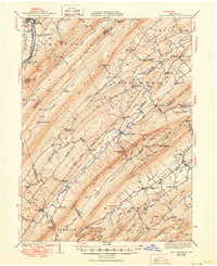
1941 Map of East Waterford
USGS Topo · Published 1950About this map
Blue Mountain and Blacklog Mountain dominate this landscape, defining the parallel ridge-and-valley structure of central Pennsylvania. The 1936 survey documents a rural economy revolving around water power and small settlements, such as McCullochs Mills and East Waterford. Numerous small schools are scattered across the valleys, including McKinley Sch and Reeds Sch, serving isolated farming communities.
Find a feature on this map
101 named features on this map. Tap any name to fly to it.
Don’t see what you’re looking for? This feature index may not catch every label — zoom into the map to look around manually.
Map Details
Editions of this 1941 East Waterford Map
3 editions found

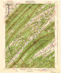
Other maps of this area

1919 · Newville
USGS Topo · 1:62,500

1919 · Mattawana
USGS Topo · 1:62,500

1919 · Menno
USGS Topo · 1:62,500

1922 · Mt Union
USGS Topo · 1:48,000

1923 · Shippensburg
USGS Topo · 1:62,500

1924 · Mt. Union
USGS Topo · 1:62,500

1924 · Lewistown
USGS Topo · 1:62,500

1925 · Mifflintown
USGS Topo · 1:48,000

1927 · Lewisburg
USGS Topo · 1:62,500

1930 · Loysville
USGS Topo · 1:62,500