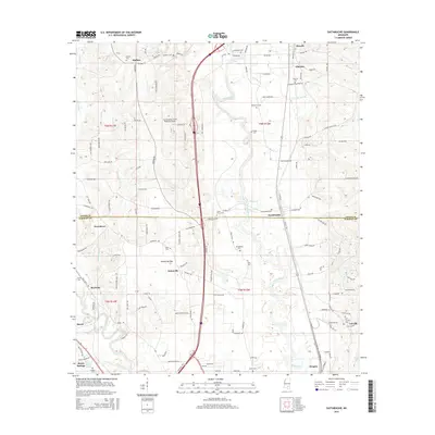
2015 Map of Eastabuchie
USGS Topo · Published 2015About this map
The Leaf River and its meandering tributaries dominate this landscape on the border of Jones and Forrest counties. The terrain is marked by established rural settlements like Eastabuchie, Eatonville, and Rawls Springs, each surrounded by family-named cemeteries and a dense network of local roads. The map reveals the infrastructure of the region, anchored by the Hattiesburg-Laurel Regional Airport and a prominent north-south transportation corridor.
Find a feature on this map
125 named features on this map. Tap any name to fly to it.
Don’t see what you’re looking for? This feature index may not catch every label — zoom into the map to look around manually.
Map Details
Editions of this 2015 Eastabuchie Map
This is the sole edition of this map. No revisions or reprints were ever made.
Other maps of this area

1953 · Hattiesburg
USGS Topo · 1:250,000

1958 · Hattiesburg
USGS Topo · 1:250,000

1963 · Barrontown
USGS Topo · 1:24,000

1964 · Carterville
USGS Topo · 1:24,000

1964 · Seminary
USGS Topo · 1:24,000

1964 · Ellisville
USGS Topo · 1:24,000

1964 · Hattiesburg
USGS Topo · 1:24,000

1965 · Hattiesburg SW
USGS Topo · 1:24,000

1965 · Eastabuchie
USGS Topo · 1:24,000

1965 · Moselle
USGS Topo · 1:24,000