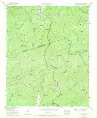
1946 Map of Eastatoe Gap
USGS Topo · Published 1946About this map
Sassafras Mtn serves as the high point of this transition between the Blue Ridge Escarpment and the Piedmont, where the boundary of North Carolina and South Carolina follows the winding ridge. The landscape is defined by its numerous gaps and peaks, including Nancy Mtn, Burnt Mountain, and Hickorynut Mtn. In the mid-century, the area supported small mountain communities like Rocky Bottom and specialized industry at the Minnow Rearing Pools along the upper reaches of the Saluda River network.
Find a feature on this map
95 named features on this map. Tap any name to fly to it.
Don’t see what you’re looking for? This feature index may not catch every label — zoom into the map to look around manually.
Map Details
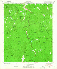
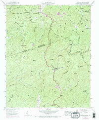
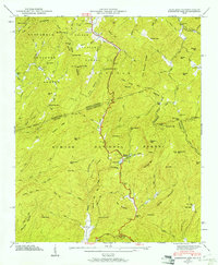
Editions of this 1946 Eastatoe Gap Map
4 editions found
Other maps of this area

1888 · Pickens
USGS Topo · 1:125,000

1894 · Pickens
USGS Topo · 1:125,000

1905 · Pisgah
USGS Topo · 1:125,000

1906 · Pisgah
USGS Topo · 1:125,000

1935 · Brevard
USGS Topo · 1:24,000

1935 · Eastatoe Gap
USGS Topo · 1:24,000

1935 · Rosman
USGS Topo · 1:24,000

1935 · Lake Toxaway
USGS Topo · 1:24,000

1935 · Reid
USGS Topo · 1:24,000

1935 · Table Rock
USGS Topo · 1:24,000