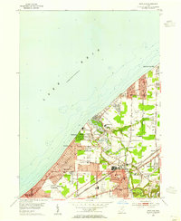
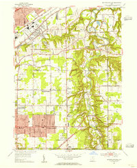
1953 Map of Eastlake
USGS Topo · Published 1955About this map
The Chagrin River flows northward toward Lake Erie, defining the geography of this mid-century lakeside landscape. Post-war suburban development is visible across Eastlake, Willoughby, and the village of Willowick, where a dense network of residential streets and schools like McKinley Sch and Roosevelt Sch are established. Significant transportation and industrial infrastructure are present, including the Lost Nation Airport and the dual lines of the New York Central RR and the New York Chicago and St Louis RR. Along the shoreline, smaller incorporated communities like Timberlake and Lakeline maintain a distinct coastal character. The map also captures local leisure and utility sites, from the Drive-in Theater near Vine St to the Gaging Sta Waterworks and various Gravel Pits that supported the region's mid-century growth.
Find a feature on this map
45 named features on this map. Tap any name to fly to it.
Don’t see what you’re looking for? This feature index may not catch every label — zoom into the map to look around manually.
Map Details
Editions of this 1953 Eastlake Map
This is the sole edition of this map. No revisions or reprints were ever made.
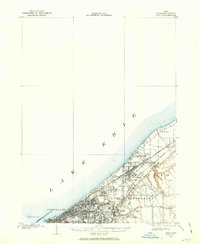
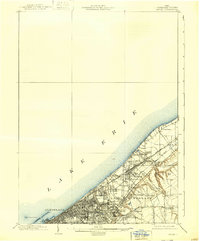
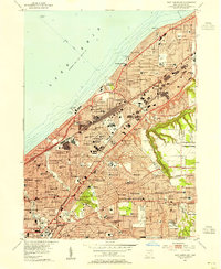
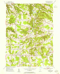
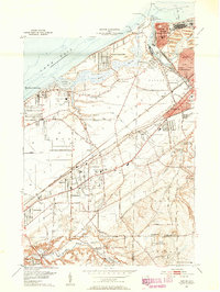
Other maps of this area
1901 · Euclid
USGS Topo · 1:62,500
1903 · Euclid
USGS Topo · 1:62,500

1905 · Mentor
USGS Topo · 1:62,500

1907 · Mentor
USGS Topo · 1:62,500

1950 · Cleveland
USGS Topo · 1:250,000
1953 · East Cleveland
USGS Topo · 1:24,000
1953 · Mayfield Heights
USGS Topo · 1:24,000
1953 · Chesterland
USGS Topo · 1:24,000
1953 · Mentor
USGS Topo · 1:24,000

1956 · Cleveland
USGS Topo · 1:250,000