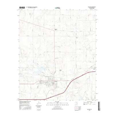
2016 Map of Eastland
USGS Topo · Published 2016About this map
Eastland serves as the focal point of this Central Texas landscape, where the confluence of the N Fork Leon River and Middle Fork Leon River defines the drainage of the region. The town's grid is dense with named streets, leading toward municipal landmarks like the Eastland Municipal Airport and Lake Brelsford. To the east, the settlement of Olden sits along the rail lines and major thoroughfares, illustrating the importance of transport corridors to these rural communities.
Find a feature on this map
101 named features on this map. Tap any name to fly to it.
Don’t see what you’re looking for? This feature index may not catch every label — zoom into the map to look around manually.
Map Details
Editions of this 2016 Eastland Map
This is the sole edition of this map. No revisions or reprints were ever made.
Other maps of this area

1890 · Breckenridge
USGS Topo · 1:125,000

1894 · Eastland
USGS Topo · 1:125,000

1954 · Abilene
USGS Topo · 1:250,000

1958 · Abilene
USGS Topo · 1:250,000

1966 · Cisco North
USGS Topo · 1:24,000

1966 · Kokomo
USGS Topo · 1:24,000

1966 · Carbon
USGS Topo · 1:24,000

1966 · Eastland
USGS Topo · 1:24,000

1966 · Cisco South
USGS Topo · 1:24,000

1966 · Ranger
USGS Topo · 1:24,000