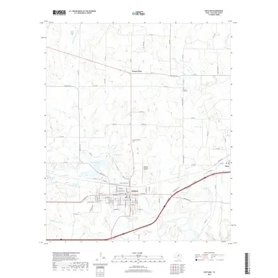
2019 Map of Eastland
USGS Topo · Published 2019About this map
Eastland serves as the central hub of this West Texas landscape, where the confluence of the N Fork Leon River and Middle Fork Leon River meets a developed transportation corridor. The map reveals a high concentration of water management and recreation sites, including Lake Eastland, Ringling Lake, and the Old City Lake, indicating the region's historical and modern reliance on these basins for municipal and industrial utility. To the north and east, the topography transitions into more dispersed rural settlements like Morton Valley and Olden. Local history markers are preserved in the naming of rural routes such as Colony School Rd and the Pleasant Grove Cem, which anchor the surrounding agricultural and ranching lands. The presence of the Eastland Municipal Airport and multiple reservoir systems like the Borrow Pit Reservoir further illustrate the area's twentieth-century infrastructure development alongside established waterways.
Find a feature on this map
101 named features on this map. Tap any name to fly to it.
Don’t see what you’re looking for? This feature index may not catch every label — zoom into the map to look around manually.
Map Details
Editions of this 2019 Eastland Map
This is the sole edition of this map. No revisions or reprints were ever made.
Other maps of this area

1890 · Breckenridge
USGS Topo · 1:125,000

1894 · Eastland
USGS Topo · 1:125,000

1954 · Abilene
USGS Topo · 1:250,000

1958 · Abilene
USGS Topo · 1:250,000

1966 · Cisco North
USGS Topo · 1:24,000

1966 · Kokomo
USGS Topo · 1:24,000

1966 · Carbon
USGS Topo · 1:24,000

1966 · Eastland
USGS Topo · 1:24,000

1966 · Cisco South
USGS Topo · 1:24,000

1966 · Ranger
USGS Topo · 1:24,000