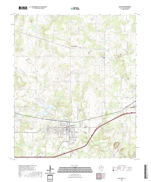
2022 Map of Eastland
USGS Topo · Published 2022About this map
Eastland serves as a significant hub in this central Texas landscape, anchored by the Eastland County Courthouse and a grid of residential and commercial streets. The surrounding territory is defined by a complex network of waterways, including the N Fork Leon River and the Middle Fork Leon River, which converge near the town center. Local history is deeply rooted in the outlying settlements and family landmarks, from Morton Valley in the north to Olden in the east.
Find a feature on this map
99 named features on this map. Tap any name to fly to it.
Don’t see what you’re looking for? This feature index may not catch every label — zoom into the map to look around manually.
Map Details
Editions of this 2022 Eastland Map
This is the sole edition of this map. No revisions or reprints were ever made.
Other maps of this area

1890 · Breckenridge
USGS Topo · 1:125,000

1894 · Eastland
USGS Topo · 1:125,000

1954 · Abilene
USGS Topo · 1:250,000

1958 · Abilene
USGS Topo · 1:250,000

1966 · Cisco North
USGS Topo · 1:24,000

1966 · Kokomo
USGS Topo · 1:24,000

1966 · Carbon
USGS Topo · 1:24,000

1966 · Eastland
USGS Topo · 1:24,000

1966 · Cisco South
USGS Topo · 1:24,000

1966 · Ranger
USGS Topo · 1:24,000