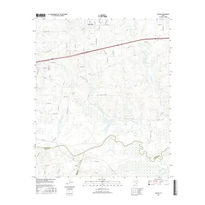
2016 Map of Easton
USGS Topo · Published 2016About this map
The Sabine River winds through the southern reaches of this landscape, forming a natural boundary that separates the settlements of Easton and Curtis from the northern hills. Just north of the river, a complex network of wetlands and seasonal watercourses including Muddy Slough and Black Slough defines the low-lying drainage patterns near Cherokee Bayou. This 2016 survey illustrates the intersection of three East Texas counties—Harrison, Gregg, and Rusk—showing how modern infrastructure like the Interstate 20 service roads contrasts with older community landmarks. For genealogists, the map preserves the location of Scott Cem and Pleasant Hill Church, which serve as anchors for the rural residential areas expanding around Hallsville and the neighboring Hallsville Hts. The terrain is deeply etched by numerous tributaries such as Clarks Cr and Hardin Cr, which have historically influenced the winding paths of local routes like Gum Springs Rd.
Find a feature on this map
73 named features on this map. Tap any name to fly to it.
Don’t see what you’re looking for? This feature index may not catch every label — zoom into the map to look around manually.
Map Details
Editions of this 2016 Easton Map
This is the sole edition of this map. No revisions or reprints were ever made.
Other maps of this area

1956 · Tyler
USGS Topo · 1:250,000
1958 · Darco
USGS Topo · 1:62,500
1958 · Tatum
USGS Topo · 1:62,500
1961 · Hallsville
USGS Topo · 1:24,000
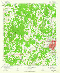
1962 · Marshall West
USGS Topo · 1:24,000
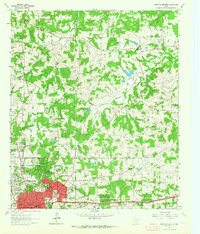
1962 · Longview Heights
USGS Topo · 1:24,000
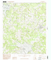
1983 · Tatum
USGS Topo · 1:24,000
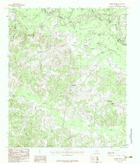
1983 · Harris Chapel
USGS Topo · 1:24,000
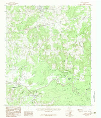
1983 · Easton
USGS Topo · 1:24,000
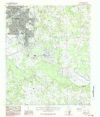
1983 · Lakeport
USGS Topo · 1:24,000