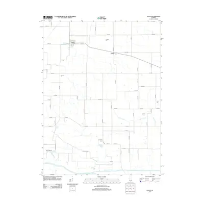
2012 Map of Easton
USGS Topo · Published 2012About this map
Easton and the small cluster of Teheran anchor this central Illinois landscape within Mason County, where the flat agricultural plains meet the more complex hydrology of the Sangamon River valley. The map reveals an intensive network of drainage systems essential to local farming, including Samuels Ditch, Hall Ditch, and Sleepy Hollow Ditch. These man-made channels contrast with the natural meandering of Salt Cr and the lowland depressions of Herget Bottoms.
Find a feature on this map
77 named features on this map. Tap any name to fly to it.
Don’t see what you’re looking for? This feature index may not catch every label — zoom into the map to look around manually.
Map Details
Editions of this 2012 Easton Map
This is the sole edition of this map. No revisions or reprints were ever made.
Other maps of this area

1929 · Manito
USGS Topo · 1:62,500

1932 · Manito
USGS Topo · 1:62,500

1933 · Petersburg
USGS Topo · 1:62,500

1938 · Petersburg
USGS Topo · 1:62,500

1942 · Delavan
USGS Topo · 1:62,500

1948 · Mason City
USGS Topo · 1:62,500

1949 · Mason City
USGS Topo · 1:62,500

1958 · Peoria
USGS Topo · 1:250,000

1961 · Peoria
USGS Topo · 1:250,000

1963 · Peoria
USGS Topo · 1:250,000