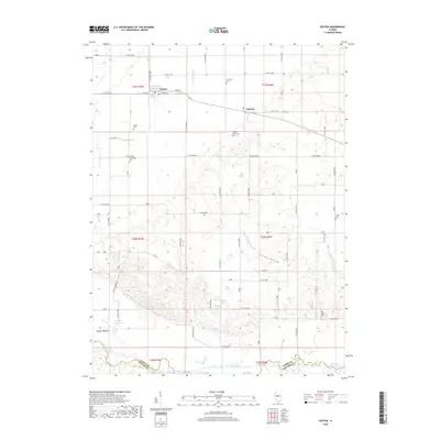
2018 Map of Easton
USGS Topo · Published 2018About this map
Easton and the small settlement of Teheran anchor this central Illinois landscape, defined by a complex network of agricultural drainage and natural water systems. The southern edge of the map follows the winding course of the Sangamon River and Salt Creek, marking the boundary between Mason and Menard counties. The region's history is traced through numerous rural burial grounds, such as New Hope Cemetery and Leases Grove Cemetery, which are scattered among the fields. Extensive human engineering is evident in the many named waterways like Sleepy Hollow Ditch and Samuels Ditch, designed to manage the low-lying terrain near Herget Bottoms. Local geography is punctuated by small water bodies including Agnew Lake, Smith Lake, and Revis Lake, while the evocative Sleepy Hollow provides a natural landmark within the township grid.
Find a feature on this map
65 named features on this map. Tap any name to fly to it.
Don’t see what you’re looking for? This feature index may not catch every label — zoom into the map to look around manually.
Map Details
Editions of this 2018 Easton Map
This is the sole edition of this map. No revisions or reprints were ever made.
Other maps of this area
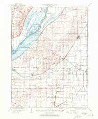
1929 · Manito
USGS Topo · 1:62,500
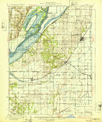
1932 · Manito
USGS Topo · 1:62,500
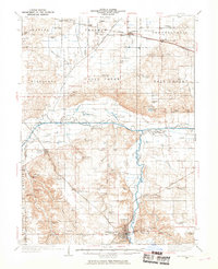
1933 · Petersburg
USGS Topo · 1:62,500
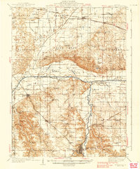
1938 · Petersburg
USGS Topo · 1:62,500
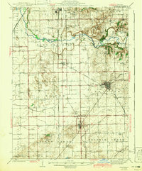
1942 · Delavan
USGS Topo · 1:62,500
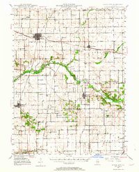
1948 · Mason City
USGS Topo · 1:62,500
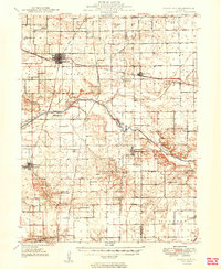
1949 · Mason City
USGS Topo · 1:62,500
1958 · Peoria
USGS Topo · 1:250,000
1961 · Peoria
USGS Topo · 1:250,000
1963 · Peoria
USGS Topo · 1:250,000