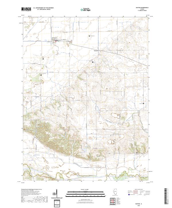
2024 Map of Easton
USGS Topo · Published 2024About this map
The town of Easton serves as the primary hub of this central Illinois landscape, where a dense network of country roads meets the agricultural plains of Mason County. This 2024 survey reveals a territory defined by intricate drainage systems such as Ross Tyrell Ditch, Samuels Ditch, and Hall Ditch, which redirect water through the flatlands toward the Sangamon River and Salt Creek along the southern boundary. These engineered waterways reflect over a century of land management in the Illinois River valley.
Find a feature on this map
40 named features on this map. Tap any name to fly to it.
Don’t see what you’re looking for? This feature index may not catch every label — zoom into the map to look around manually.
Map Details
Editions of this 2024 Easton Map
This is the sole edition of this map. No revisions or reprints were ever made.
Other maps of this area

1929 · Manito
USGS Topo · 1:62,500

1932 · Manito
USGS Topo · 1:62,500

1933 · Petersburg
USGS Topo · 1:62,500

1938 · Petersburg
USGS Topo · 1:62,500

1942 · Delavan
USGS Topo · 1:62,500

1948 · Mason City
USGS Topo · 1:62,500

1949 · Mason City
USGS Topo · 1:62,500

1958 · Peoria
USGS Topo · 1:250,000

1961 · Peoria
USGS Topo · 1:250,000

1963 · Peoria
USGS Topo · 1:250,000