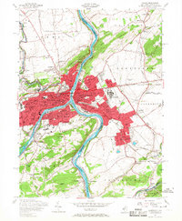
1956 Map of Easton
USGS Topo · Published 1967About this map
The Lehigh River meets the Delaware River at the industrial and cultural nexus of Easton and Phillipsburg, where a dense network of transit and industry dominated the mid-1950s landscape. This survey documents the intense intersection of several major rail lines, including the Pennsylvania RR, Lehigh Valley RR, and the Central RR of New Jersey, which fueled the regional economy alongside numerous quarries and gravel pits.
Find a feature on this map
96 named features on this map. Tap any name to fly to it.
Don’t see what you’re looking for? This feature index may not catch every label — zoom into the map to look around manually.
Map Details
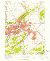
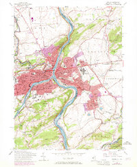
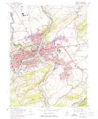
Editions of this 1956 Easton Map
7 editions found
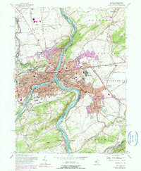
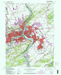
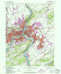
Other maps of this area

1890 · Easton
USGS Topo · 1:62,500

1891 · Easton
USGS Topo · 1:62,500

1891 · Delaware Water Gap
USGS Topo · 1:62,500

1893 · Delaware Water Gap
USGS Topo · 1:62,500

1894 · Allentown
USGS Topo · 1:62,500

1914 · Wind Gap
USGS Topo · 1:62,500

1916 · Wind Gap
USGS Topo · 1:62,500

1932 · Easton
USGS Topo · 1:62,500

1936 · Delaware Water Gap
USGS Topo · 1:48,000

1939 · Allentown
USGS Topo · 1:62,500