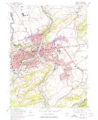
1956 Map of Easton
USGS Topo · Published 1975About this map
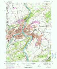
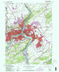
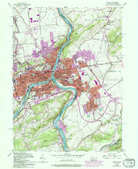
Easton and Phillipsburg sit at the confluence of the Lehigh River and the Delaware River, serving as a major mid-century industrial and transport hub. The landscape is defined by the steep grades of Chestnut Hill and Marble Mountain, which hem in the dense residential and educational centers. The campus of Lafayette College overlooks the city of Easton, while the surrounding hills are dotted with parochial institutions like St Joseph Sch & Ch and St Marys Sch & Ch. This 1956 survey, updated with purple revisions in the early 1970s, captures the complex rail infrastructure of the Lehigh Valley RR, Penn Central, and the Erie-Lackawanna crossing the rivers. Beyond the urban cores, the map shows the transition to smaller settlements such as Raubsville, Glendon, and Alpha, where numerous quarries and gravel pits point to the area's extraction history.
Find a feature on this map
116 named features on this map. Tap any name to fly to it.
Don’t see what you’re looking for? This feature index may not catch every label — zoom into the map to look around manually.
Map Details
Editions of this 1956 Easton Map
7 editions found
Other maps of this area

1890 · Easton
USGS Topo · 1:62,500

1891 · Easton
USGS Topo · 1:62,500

1891 · Delaware Water Gap
USGS Topo · 1:62,500

1893 · Delaware Water Gap
USGS Topo · 1:62,500

1894 · Allentown
USGS Topo · 1:62,500

1914 · Wind Gap
USGS Topo · 1:62,500

1916 · Wind Gap
USGS Topo · 1:62,500

1932 · Easton
USGS Topo · 1:62,500

1936 · Delaware Water Gap
USGS Topo · 1:48,000

1939 · Allentown
USGS Topo · 1:62,500