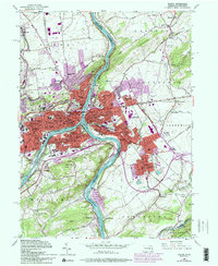
1956 Map of Easton
USGS Topo · Published 1994About this map
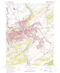
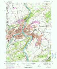
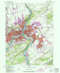
The confluence of the Lehigh River and Delaware River serves as the industrial and social nexus for this mid-century Pennsylvania and New Jersey border region. The urban core of Easton and Phillipsburg is defined by a dense concentration of civic infrastructure, including Lafayette College, several parochial schools like St Marys Ch, and numerous neighborhood cemeteries such as Easton Heights Cem and Hay Cem.
Find a feature on this map
121 named features on this map. Tap any name to fly to it.
Don’t see what you’re looking for? This feature index may not catch every label — zoom into the map to look around manually.
Map Details
Editions of this 1956 Easton Map
7 editions found
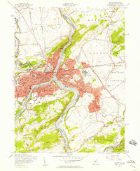
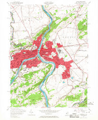
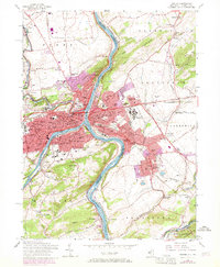
Other maps of this area

1890 · Easton
USGS Topo · 1:62,500

1891 · Easton
USGS Topo · 1:62,500

1891 · Delaware Water Gap
USGS Topo · 1:62,500

1893 · Delaware Water Gap
USGS Topo · 1:62,500

1894 · Allentown
USGS Topo · 1:62,500

1914 · Wind Gap
USGS Topo · 1:62,500

1916 · Wind Gap
USGS Topo · 1:62,500

1932 · Easton
USGS Topo · 1:62,500

1936 · Delaware Water Gap
USGS Topo · 1:48,000

1939 · Allentown
USGS Topo · 1:62,500