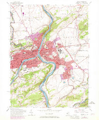
1956 Map of Easton
USGS Topo · Published 1970About this map
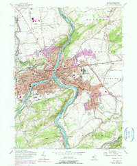
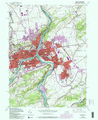
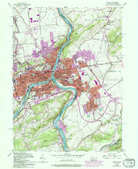
The Delaware River serves as the central axis for this mid-century portrait of industrial and educational growth along the Pennsylvania and New Jersey border. On the western bank, the city of Easton is defined by the confluence of Bushkill Creek and the river, anchored by the hilltop campus of Lafayette College. The map captures the dense urban corridors of Wilson, West Easton, and South Easton as they expanded toward Morgan Hill. Across the water, the New Jersey side features the borough of Phillipsburg and the township of Alpha, showing the transition from concentrated rail yards and industrial sites like the Morris Canal to the residential developments of Delaware Park.
Find a feature on this map
112 named features on this map. Tap any name to fly to it.
Don’t see what you’re looking for? This feature index may not catch every label — zoom into the map to look around manually.
Map Details
Editions of this 1956 Easton Map
7 editions found
Other maps of this area

1890 · Easton
USGS Topo · 1:62,500

1891 · Easton
USGS Topo · 1:62,500

1891 · Delaware Water Gap
USGS Topo · 1:62,500

1893 · Delaware Water Gap
USGS Topo · 1:62,500

1894 · Allentown
USGS Topo · 1:62,500

1914 · Wind Gap
USGS Topo · 1:62,500

1916 · Wind Gap
USGS Topo · 1:62,500

1932 · Easton
USGS Topo · 1:62,500

1936 · Delaware Water Gap
USGS Topo · 1:48,000

1939 · Allentown
USGS Topo · 1:62,500