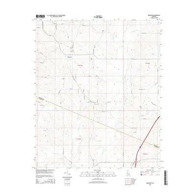
2015 Map of Ebenezer
USGS Topo · Published 2015About this map
Ebenezer serves as the central hub of this Mississippi landscape, situated at the junction of several rural routes including Ebenezer-Coxburg Rd and Ebenezer Rd. The terrain is defined by a dense network of burial sites and family landmarks, which offer significant value for genealogical research in this portion of Holmes Co and Yazoo Co. Key sites such as Ebenezer Cem, Hopewell Cem, and Hart Town Cem are clearly marked alongside lesser-known locations like Truly Cem and Rule Cem.
Find a feature on this map
60 named features on this map. Tap any name to fly to it.
Don’t see what you’re looking for? This feature index may not catch every label — zoom into the map to look around manually.
Map Details
Editions of this 2015 Ebenezer Map
This is the sole edition of this map. No revisions or reprints were ever made.
Other maps of this area

1940 · Lexington
USGS Topo · 1:62,500

1953 · Meridian
USGS Topo · 1:250,000

1953 · Greenwood
USGS Topo · 1:250,000

1953 · West Point
USGS Topo · 1:250,000

1955 · Jackson
USGS Topo · 1:250,000

1956 · Greenwood
USGS Topo · 1:250,000

1957 · Meridian
USGS Topo · 1:250,000

1957 · Lexington
USGS Topo · 1:62,500

1958 · West Point
USGS Topo · 1:250,000

1958 · Lexington
USGS Topo · 1:62,500