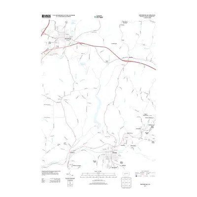
2013 Map of Ebensburg
USGS Topo · Published 2013About this map
Ebensburg serves as the focal point of this Cambria County landscape, where the northern high ground transitions toward the Little Conemaugh River valley. The map reveals a dense network of small communities and industrial-era settlements like Portage, Cassandra, and Wilmore, many of which developed around the region's coal and rail history. Distinctive landmarks such as the Cambria County Fairground and Lake Rowena occupy the northern portion near the borough, while the southern reaches are marked by specific locations like Miller Shaft and Sonman. The terrain is defined by several prominent rises, including Pringle Hill and Scarlan Hill, and the presence of aviation and recreation at Hamilton Hill Airport and Appledale Public Golf Course.
Find a feature on this map
66 named features on this map. Tap any name to fly to it.
Don’t see what you’re looking for? This feature index may not catch every label — zoom into the map to look around manually.
Map Details
Editions of this 2013 Ebensburg Map
This is the sole edition of this map. No revisions or reprints were ever made.
Other maps of this area

1902 · Ebensburg
USGS Topo · 1:62,500

1902 · Patton
USGS Topo · 1:62,500

1902 · Barnesboro
USGS Topo · 1:62,500

1904 · Barnesboro
USGS Topo · 1:62,500

1904 · Patton
USGS Topo · 1:62,500

1904 · Ebensburg
USGS Topo · 1:62,500

1904 · Johnstown
USGS Topo · 1:62,500

1907 · Johnstown
USGS Topo · 1:62,500

1943 · Punxsutawney
USGS Topo · 1:125,000

1953 · Pittsburgh
USGS Topo · 1:250,000