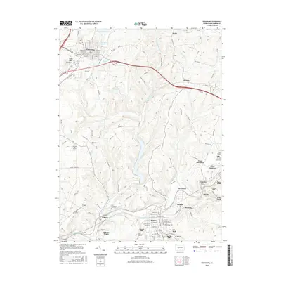
2016 Map of Ebensburg
USGS Topo · Published 2016About this map
The county seat of Ebensburg serves as the focal point for this landscape in the Allegheny Mountains, where the historic Admiral Peary Hwy cuts a path through high ridges and deep river valleys. The topography is defined by the headwaters of the Little Conemaugh River and the N Br Little Conemaugh River, which flow through industrial corridors historically tied to coal and rail. To the south, the borough of Portage and smaller settlements like Cassandra and Wilmore follow the narrow valley floors, while Munster and Noel occupy higher ground to the east. Extensive cemetery sites, including the Saint Bartholomew Cemeteries and Holy Name Cem (160), reflect the deep-rooted community history of Cambria County. The map also highlights industrial remnants like the Miller Shaft and specialized infrastructure such as Hamilton Hill Airport and several municipal reservoirs.
Find a feature on this map
59 named features on this map. Tap any name to fly to it.
Don’t see what you’re looking for? This feature index may not catch every label — zoom into the map to look around manually.
Map Details
Editions of this 2016 Ebensburg Map
This is the sole edition of this map. No revisions or reprints were ever made.
Other maps of this area

1902 · Ebensburg
USGS Topo · 1:62,500

1902 · Patton
USGS Topo · 1:62,500

1902 · Barnesboro
USGS Topo · 1:62,500

1904 · Barnesboro
USGS Topo · 1:62,500

1904 · Patton
USGS Topo · 1:62,500

1904 · Ebensburg
USGS Topo · 1:62,500

1904 · Johnstown
USGS Topo · 1:62,500

1907 · Johnstown
USGS Topo · 1:62,500

1943 · Punxsutawney
USGS Topo · 1:125,000

1953 · Pittsburgh
USGS Topo · 1:250,000