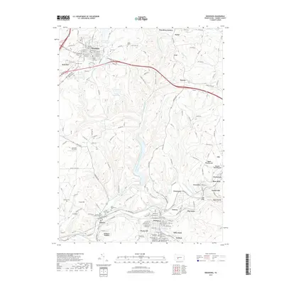
2019 Map of Ebensburg
USGS Topo · Published 2019About this map
The Cambria County Courthouse anchors the borough of Ebensburg, situated atop a high plateau where the North Branch Little Conemaugh River begins its descent. This landscape is defined by its deep cultural roots, evidenced by an exceptional density of religious burial grounds including the Old Welsh Cem, Saint George Syrian Orthodox Cem, and the Hungarian Lutheran Reformed Cem.
Find a feature on this map
209 named features on this map. Tap any name to fly to it.
Don’t see what you’re looking for? This feature index may not catch every label — zoom into the map to look around manually.
Map Details
Editions of this 2019 Ebensburg Map
This is the sole edition of this map. No revisions or reprints were ever made.
Other maps of this area

1902 · Ebensburg
USGS Topo · 1:62,500

1902 · Patton
USGS Topo · 1:62,500

1902 · Barnesboro
USGS Topo · 1:62,500

1904 · Barnesboro
USGS Topo · 1:62,500

1904 · Patton
USGS Topo · 1:62,500

1904 · Ebensburg
USGS Topo · 1:62,500

1904 · Johnstown
USGS Topo · 1:62,500

1907 · Johnstown
USGS Topo · 1:62,500

1943 · Punxsutawney
USGS Topo · 1:125,000

1953 · Pittsburgh
USGS Topo · 1:250,000