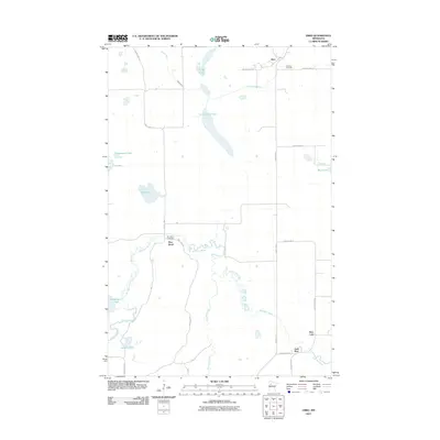
2011 Map of Ebro
USGS Topo · Published 2011About this map
The meandering Wild Rice River defines the central landscape of this Clearwater County region, winding through a series of wetlands and small prairies. In the northern reaches, the community of Ebro is situated near the Clearwater River, while the small settlement of Pine Bend occupies a prominent loop in the river’s path to the south. This area is characterized by an intricate network of water bodies, including Lower Long Lake, Washington Lake, and Wolf Lake, many of which are connected by smaller tributaries like Poplar River and Roy Lake Creek.
Find a feature on this map
31 named features on this map. Tap any name to fly to it.
Don’t see what you’re looking for? This feature index may not catch every label — zoom into the map to look around manually.
Map Details
Editions of this 2011 Ebro Map
This is the sole edition of this map. No revisions or reprints were ever made.
Other maps of this area

1919 · Fosston
USGS Topo · 1:62,500

1943 · Bagley
USGS Topo · 1:62,500

1954 · Bemidji
USGS Topo · 1:250,000

1957 · Bemidji
USGS Topo · 1:250,000

1958 · Bemidji
USGS Topo · 1:250,000

1969 · North Twin Lake
USGS Topo · 1:24,000

1969 · Ebro
USGS Topo · 1:24,000

1969 · Roy Lake
USGS Topo · 1:24,000

1969 · Fosston SE
USGS Topo · 1:24,000

1969 · Fosston East
USGS Topo · 1:24,000