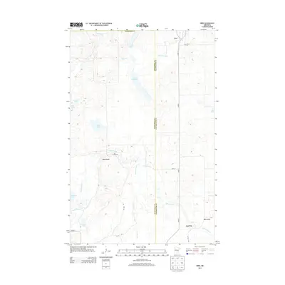
2013 Map of Ebro
USGS Topo · Published 2013About this map
The Wild Rice River winds through the heart of this Northwoods landscape, defining the boundary between Mahnomen and Clearwater counties. This 2013 survey details a region characterized by its dense network of glacial lakes and small, dispersed settlements. The community of Pine Bend is situated near the river's path, adjacent to the Pine Bend Cem. To the north, the small town of Ebro sits near the Clearwater River, while the southern reaches feature the smaller hamlet of Jack Pine. Significant water bodies like Washington Lake, Long Lake, and Wolf Lake are scattered across the terrain, reflecting the hydrographic complexity of the area. Local connectivity is maintained through rural routes such as Co HWY-7 and Pine Bend Rd, providing access to isolated cemeteries and family landmarks in a region largely defined by its riparian corridors and wetlands.
Find a feature on this map
28 named features on this map. Tap any name to fly to it.
Don’t see what you’re looking for? This feature index may not catch every label — zoom into the map to look around manually.
Map Details
Editions of this 2013 Ebro Map
This is the sole edition of this map. No revisions or reprints were ever made.
Other maps of this area

1919 · Fosston
USGS Topo · 1:62,500

1943 · Bagley
USGS Topo · 1:62,500

1954 · Bemidji
USGS Topo · 1:250,000

1957 · Bemidji
USGS Topo · 1:250,000

1958 · Bemidji
USGS Topo · 1:250,000

1969 · North Twin Lake
USGS Topo · 1:24,000

1969 · Ebro
USGS Topo · 1:24,000

1969 · Roy Lake
USGS Topo · 1:24,000

1969 · Fosston SE
USGS Topo · 1:24,000

1969 · Fosston East
USGS Topo · 1:24,000